
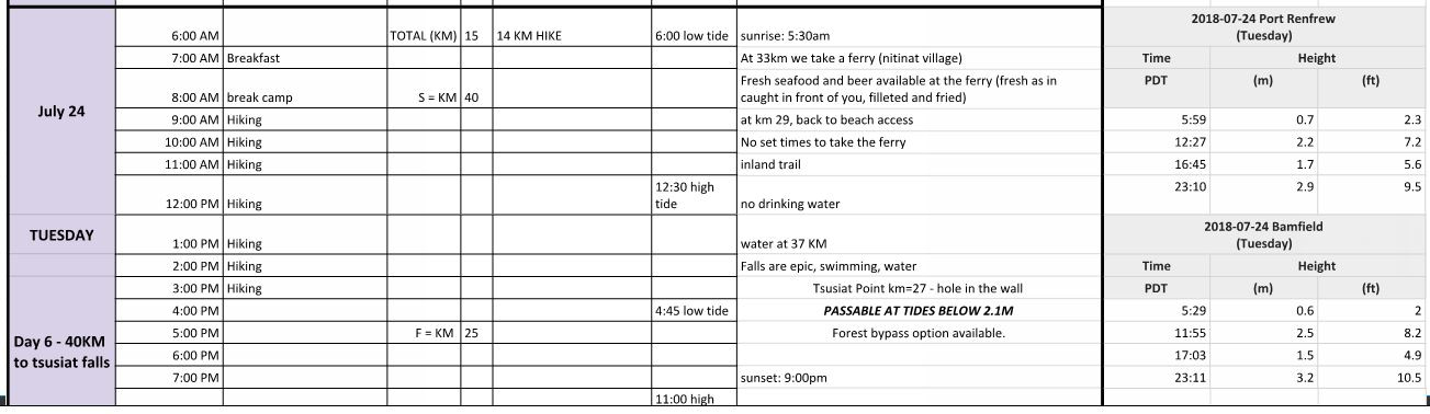
- Date Completed: Tuesday 2018 July 24
- Distance (According to GPS): 14.4 – 15 km
- Time: 5 hr 19 min
- Elevation Gain: + 537m – 556m
- West Coast Trail KM’s: KM 40 to KM 25
- Map of the Route & GPS data: Yes!! Click here for Route
- Best Description for the Day:
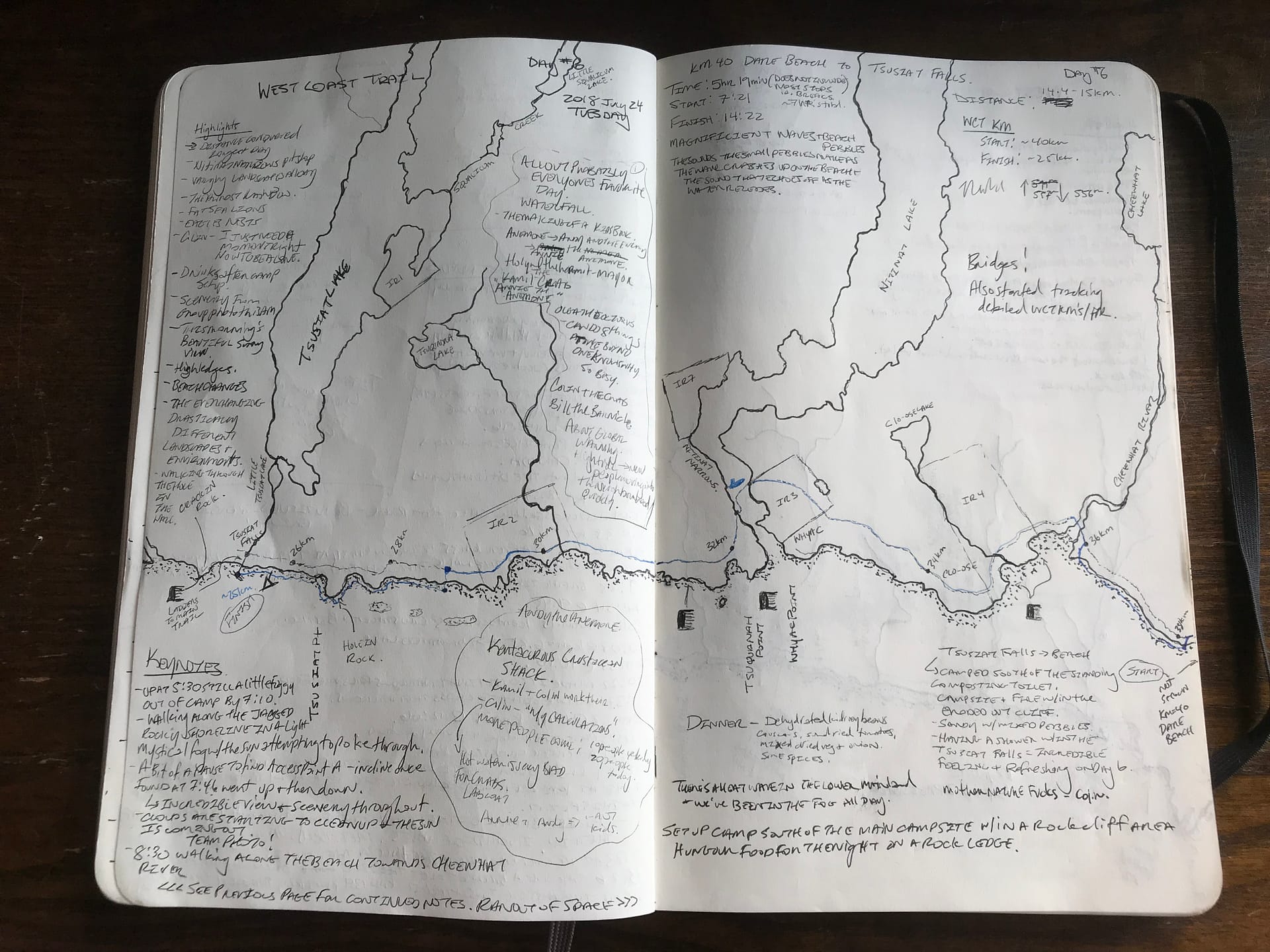
I’m a bit old school with tracking our adventures in my Moleskin Notebook.


Day 6: Dare Beach to Tsusiat Falls – 2018 July 24
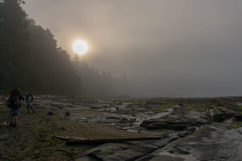
05:30 Wake Up, Fog, Dew, Pack and Go
So to note, Day 6 is when I got really focused and serious about tracking our KM/ hr speed and time per KM. You’ll see this reflected in the recap notes below.
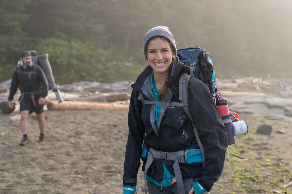
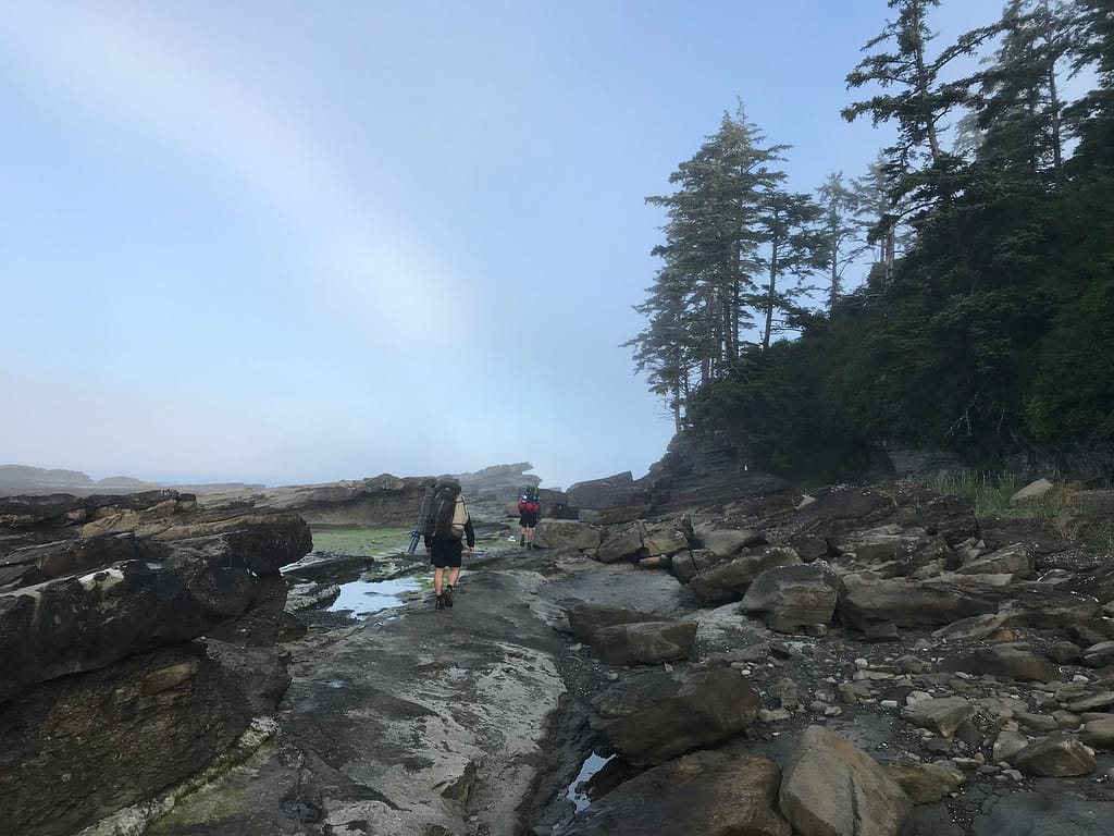
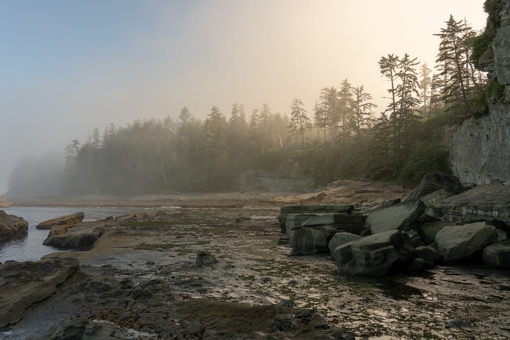
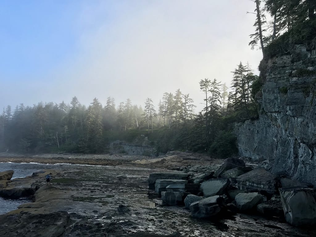
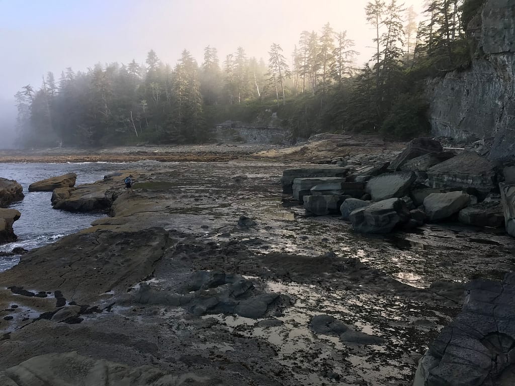
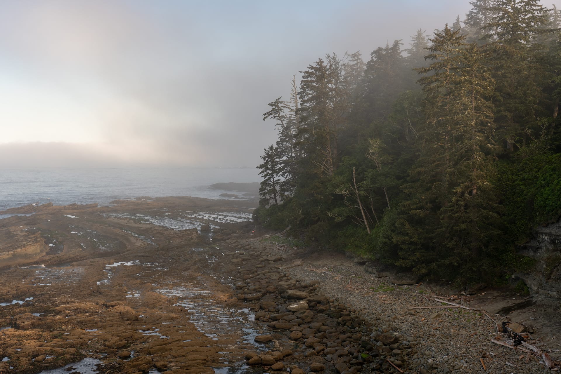
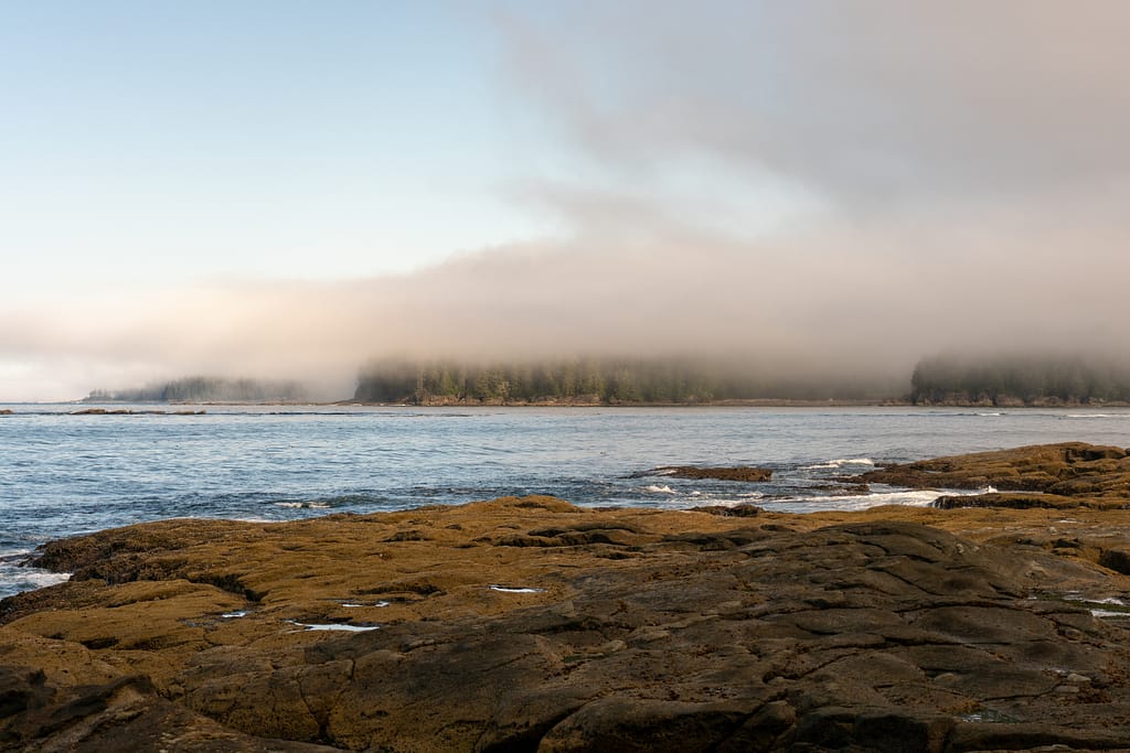
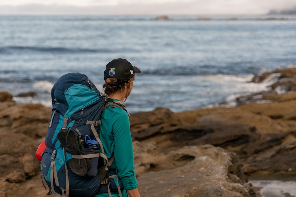
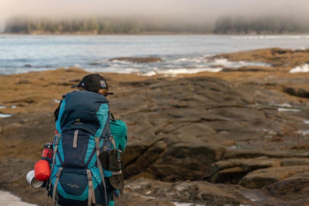
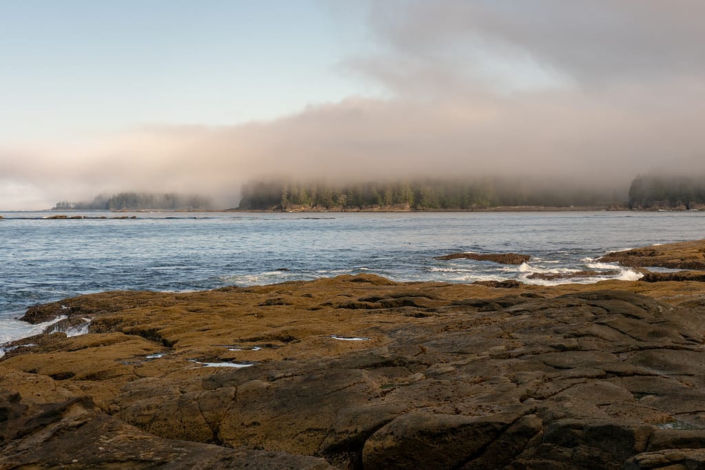
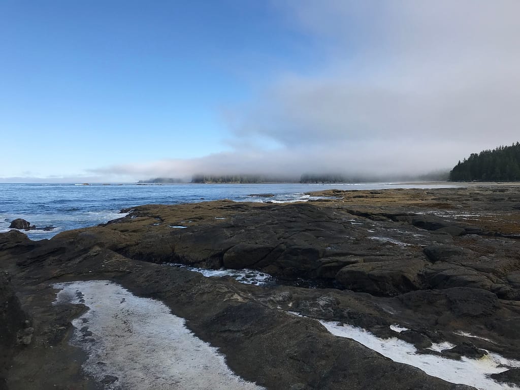
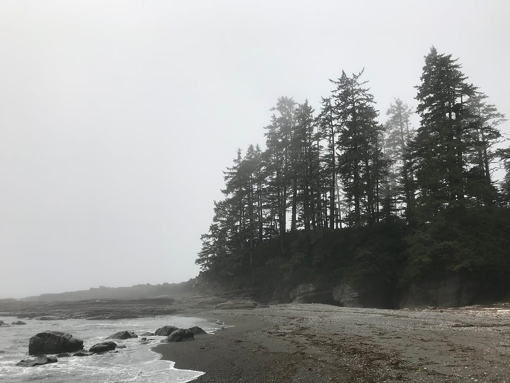
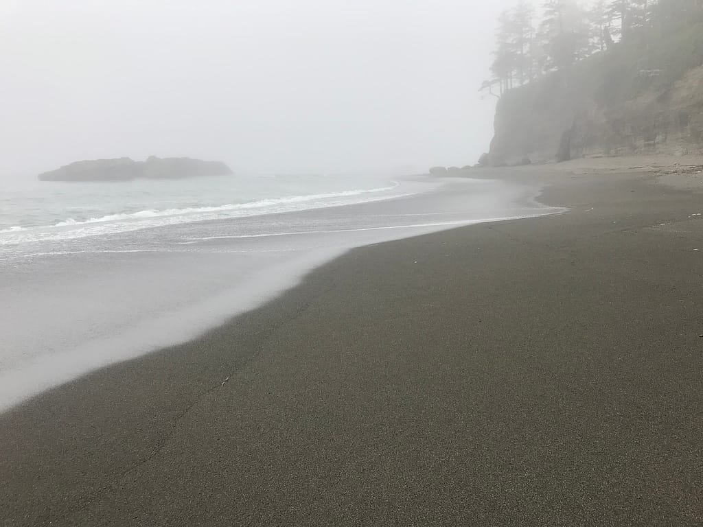
Up at 5:30 AM, still a big foggy out. After the morning cup of java, we were out of camp by 07:10. The sun was attempting to poke through, which resulted in a beautiful scenic view.
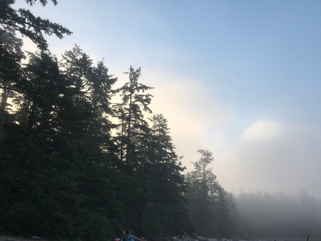
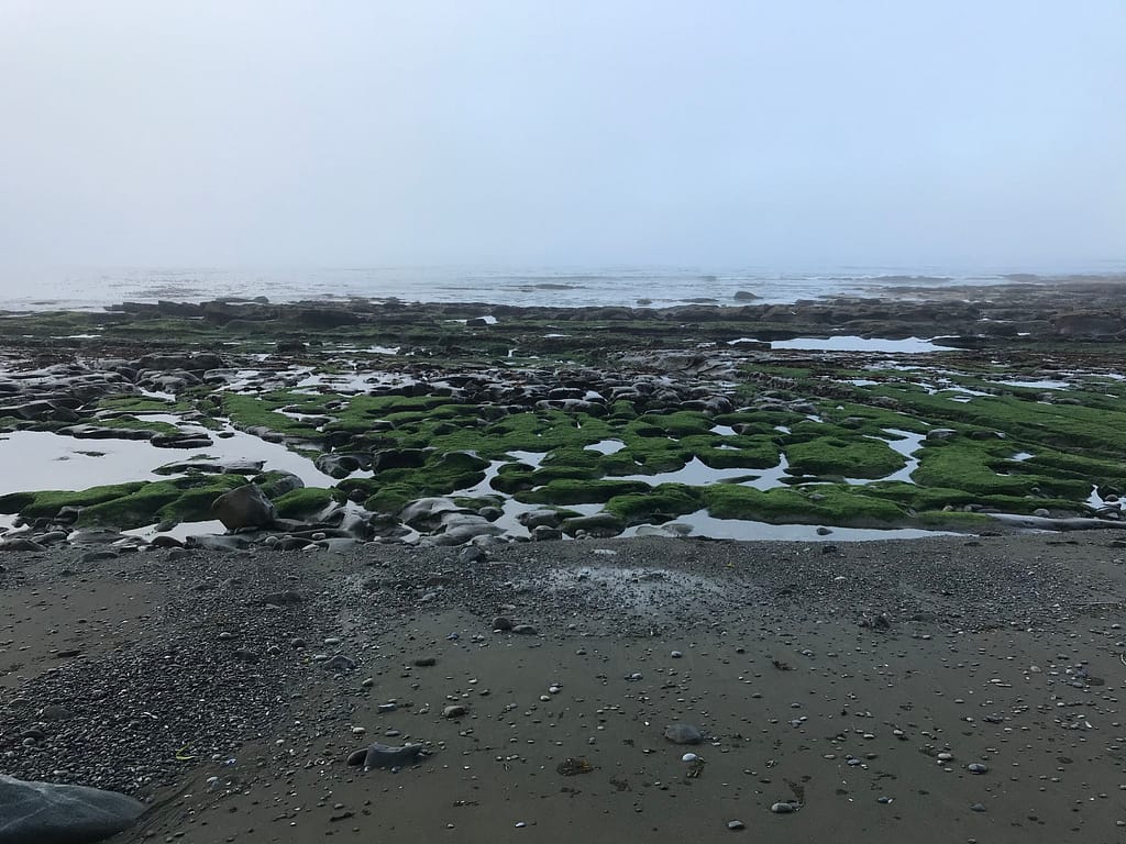
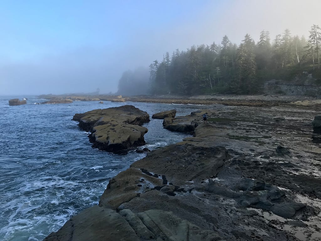
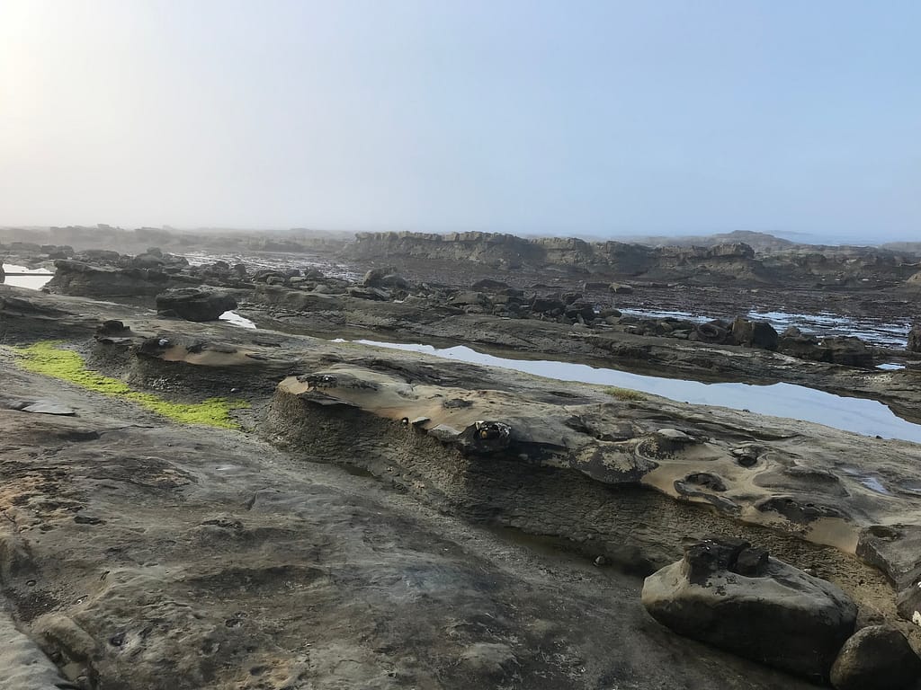
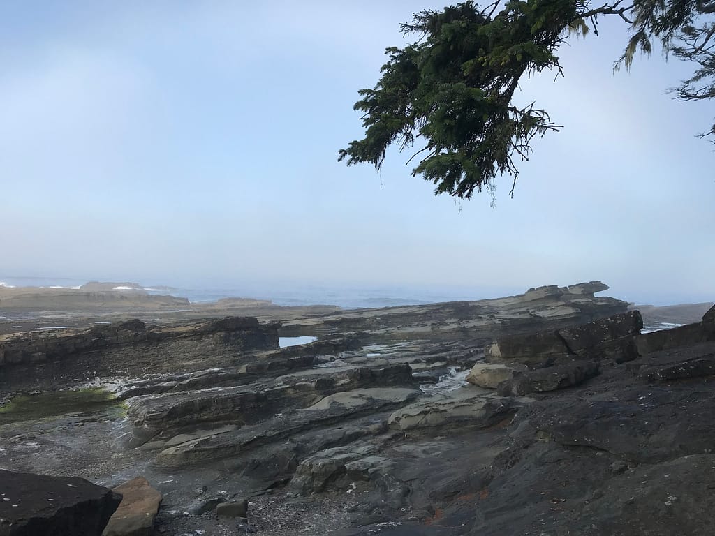
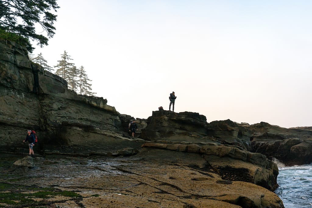
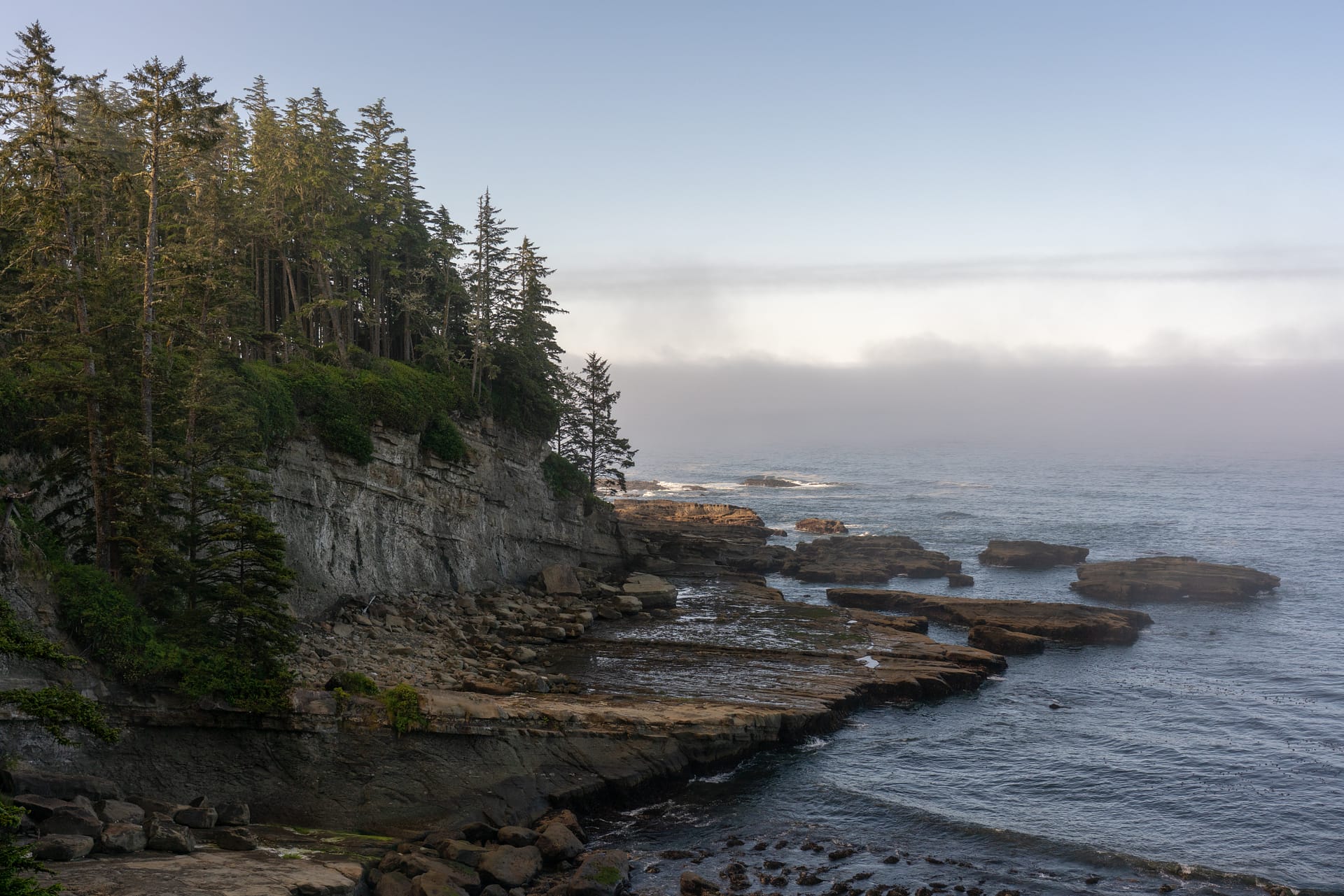
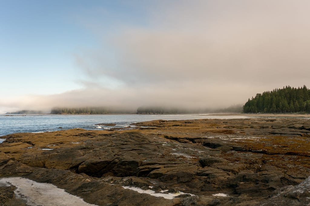
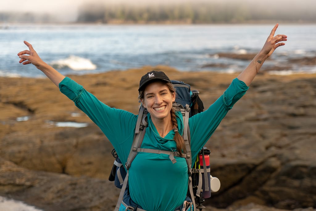
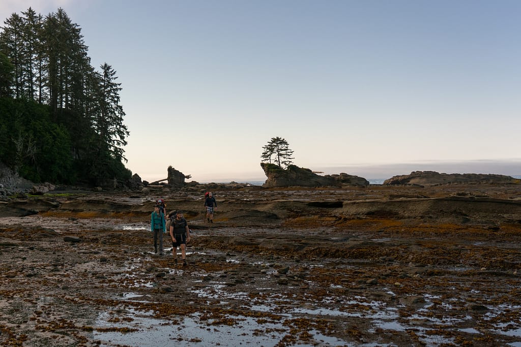
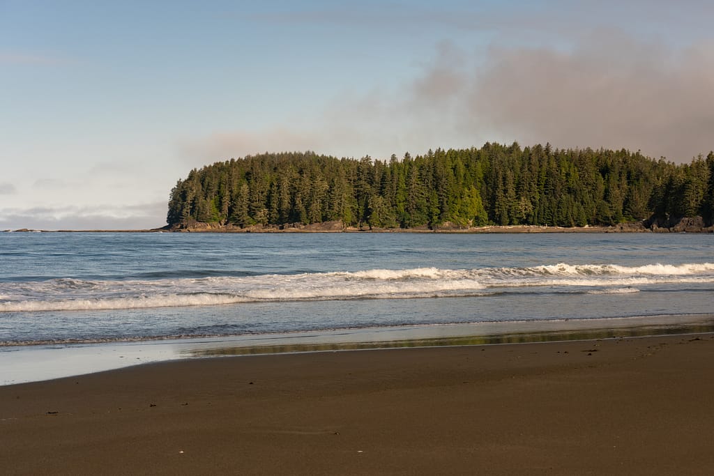
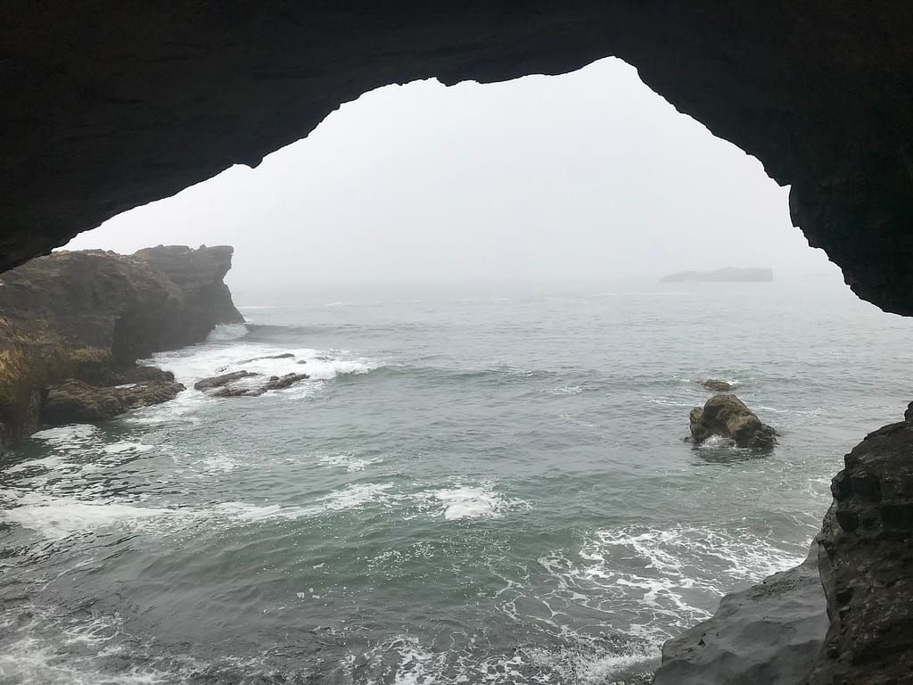
Walking along the jagged rocky shoreline in a light mystical fog with the sun attempting to poke through. A bit of pause with our group as we attempted to find Access Point A – incline once found at 7:46. Went Up, across a surge channel and then back down. This was a point on the trail where we were exposed to this INCREDIBLE VIEW and scenery with the sun poking through. The clouds are starting to clean up and the sun is trying to come out. Team Photo.
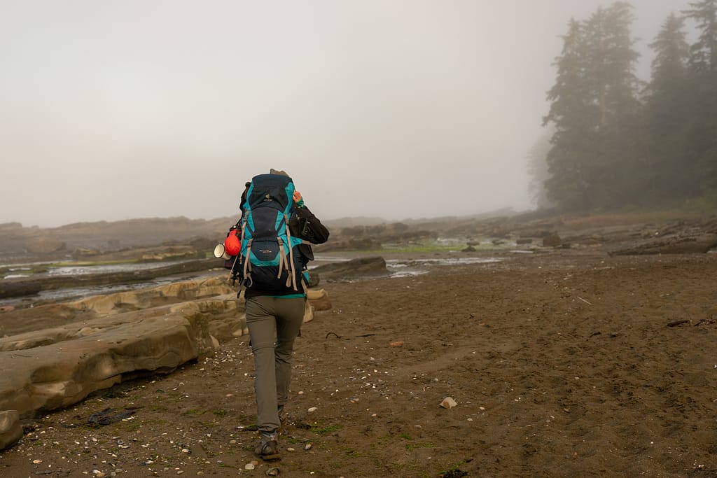
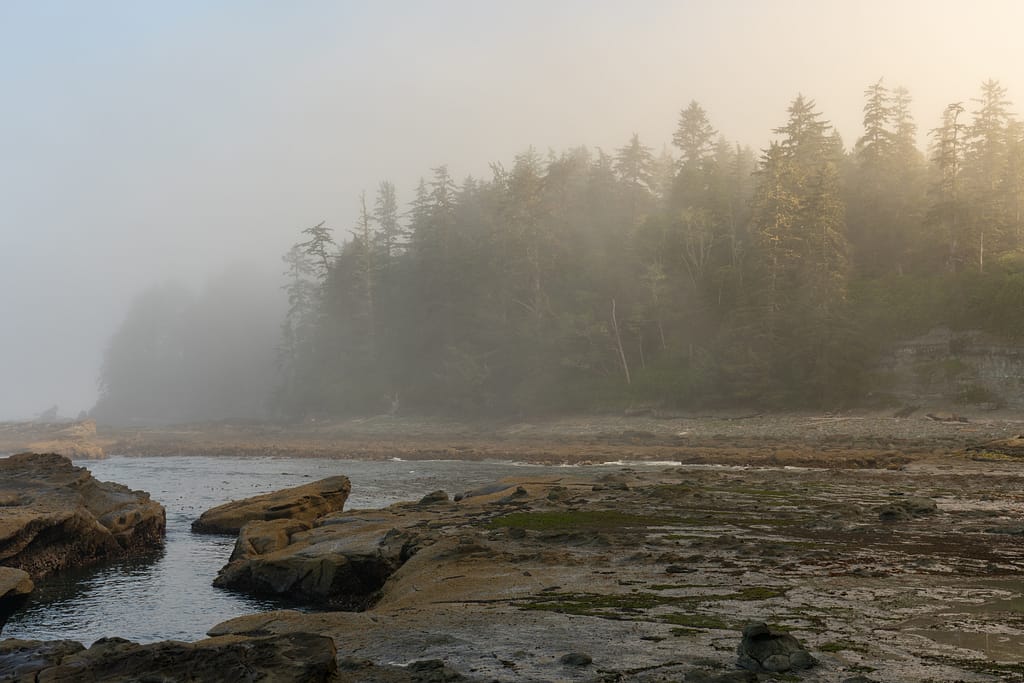

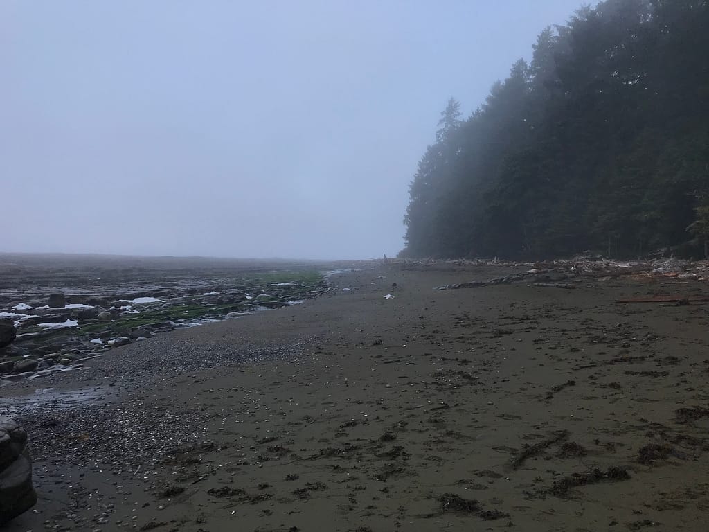
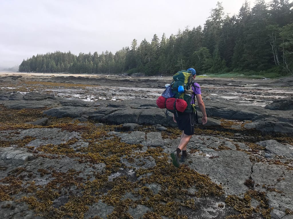
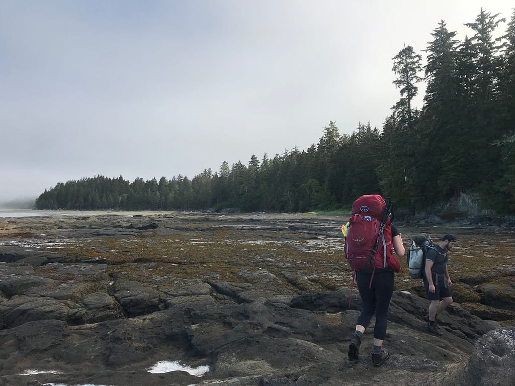
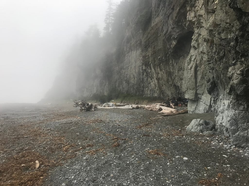
8:30 Walking along the beach towards the Cheewhat River. The beach was this beautiful sandy beach. Unfortunately, due to high wildlife activity prevalent in this area, no camping is permitted. I guess that makes this walk all the more special.
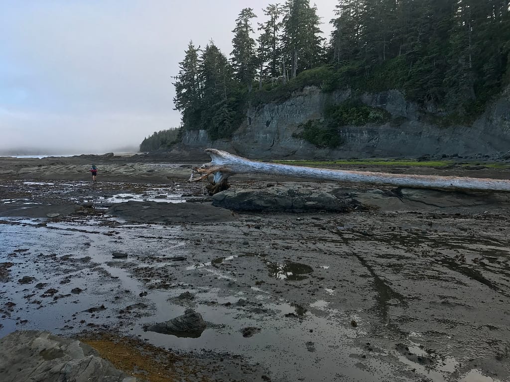
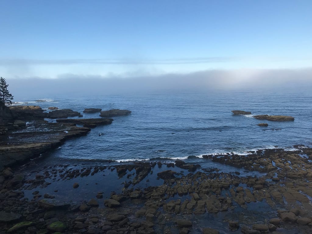
Beautiful scenery and waves as the tides starts to come in for high tide.
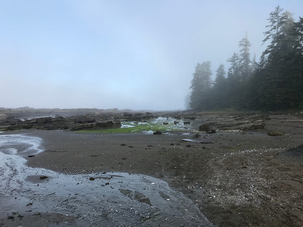
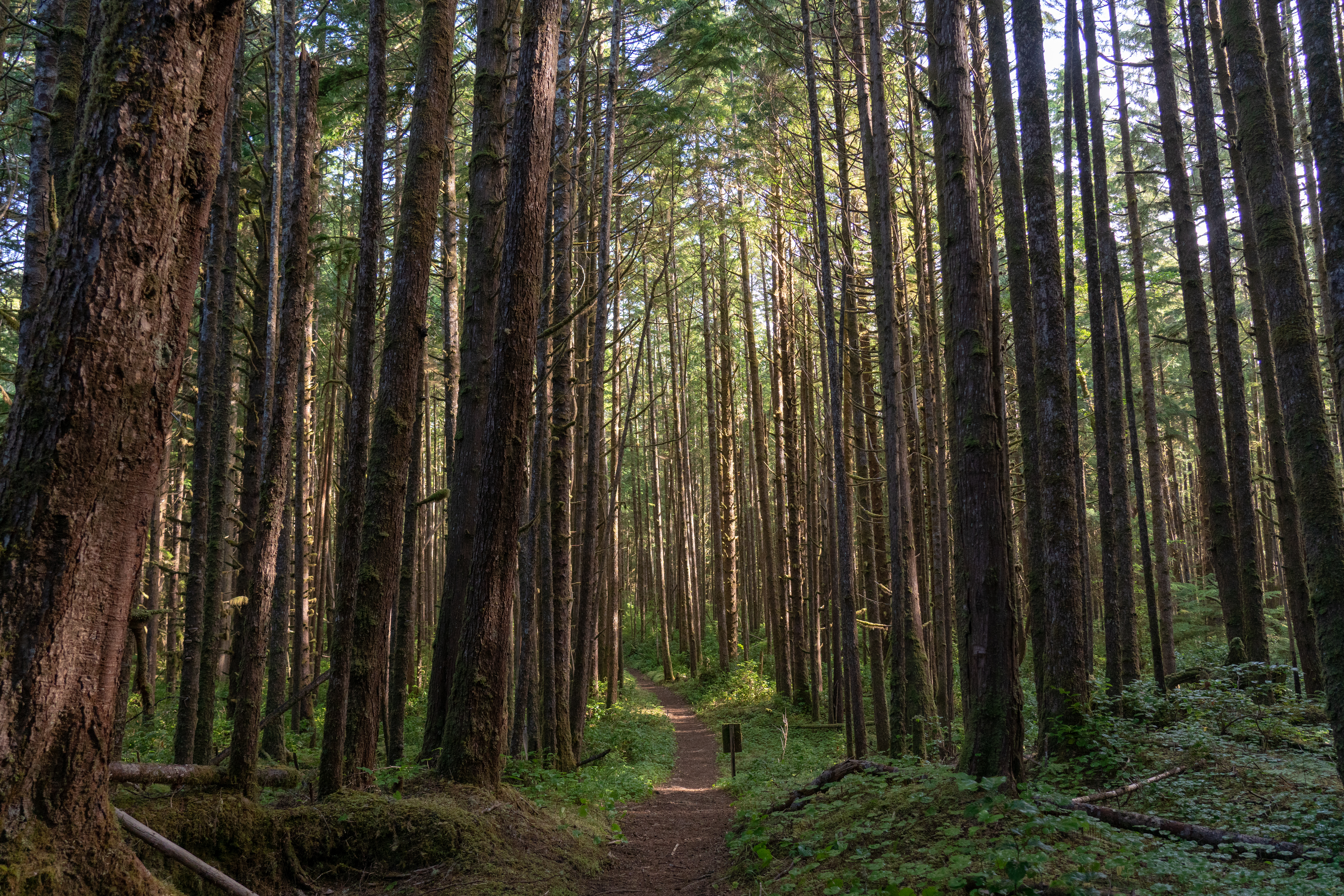
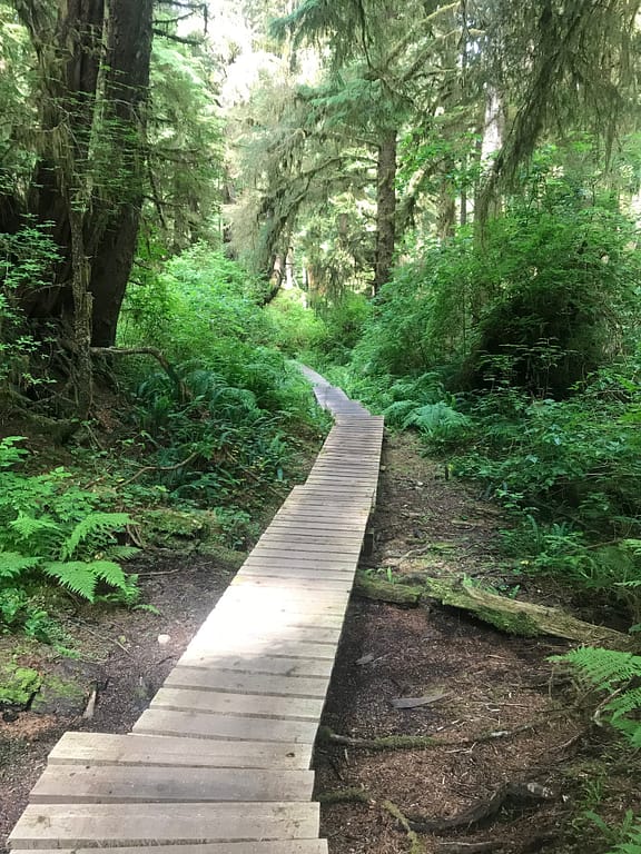
Around 8:53, we entered the adjacent forest path off access point B. As we walked, we passed the sand dune restorations at KM=2.96. There were also some beautiful plan restorations being completed by Parks Canada.


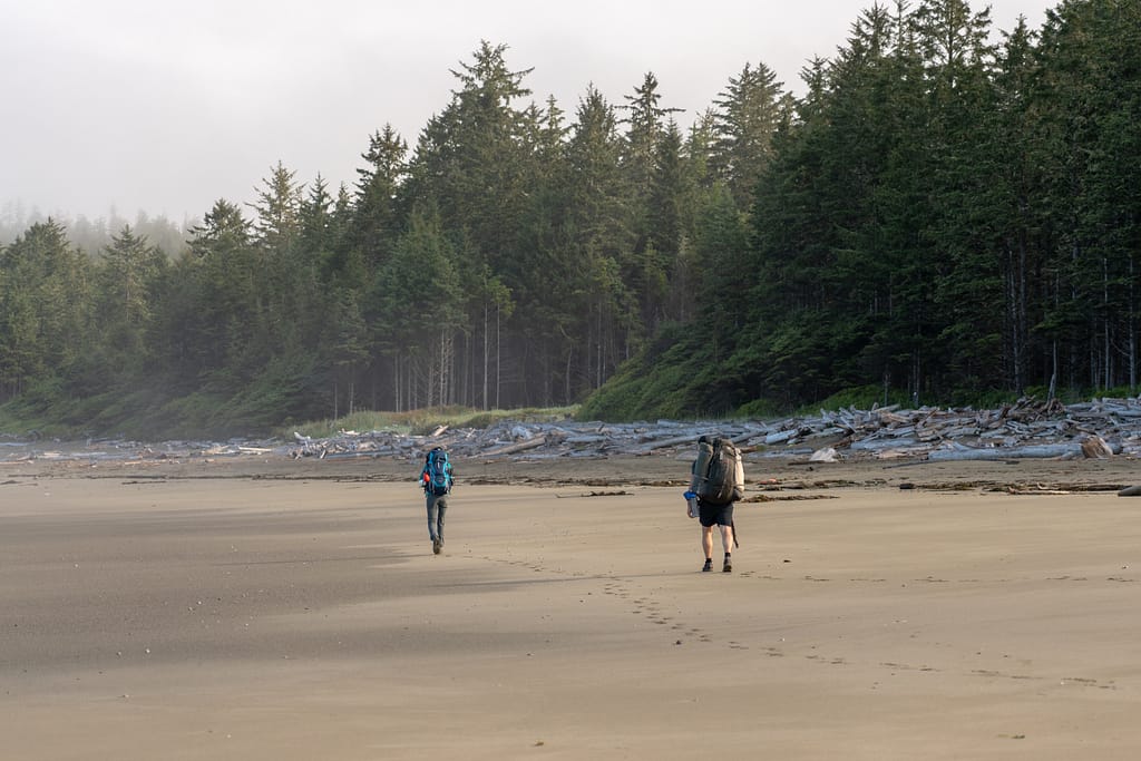
8:55 we crossed into the Ditidaht Lands. This portion of the route was fairly easy terrain as we walked along the path and through the massive trees on either end. Sort of felt like we were walking in the Shire.


WCT KM 36 at 8:57.
9:04 just crossed the Cheewhat River. I was in complete squirrel mode analyzing the Suspension Bridge.


WCT KM 35 at 9:16.
Believe we may have seen bear poop just after KM 35 between KM 34 at 9:19. Looked about a day old. And we continued with the walk through the forest, venturing towards the next beach. Then break time
WCT KM 34 at 9:45
Team started to create the children’s book “Colin + Kamil’s Kentacorous Crustacean Bistro”. The mind goes to some entertaining depths.
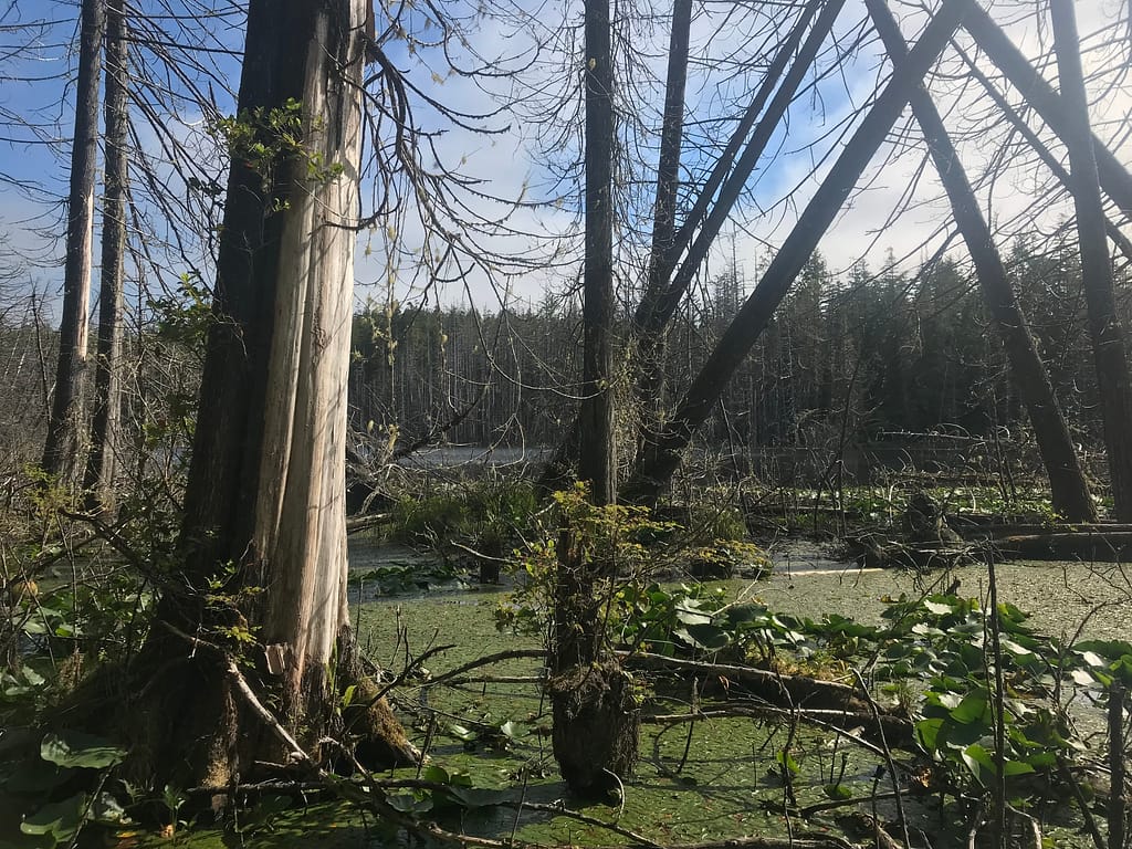
10:08 at KM=6.85 we passed by a no named lake. 10:33 at WCT KM 33.
10:22 we made it down the path towards Nitinat Narrows. Nitinat you can fill up on some fresh food prior to taking the boat across the Narrows. Note – Nitinat is CASH ONLY. This is also the half way point where some people like to start the trail part way. This was probably the most expensive brunch I’ve had, but the fresh coffee and the halibut were totally worth it. We also stocked up on a few beers and a chocolate bar. Tidbit – if you are trying to stick to a schedule and need to be quite, the food at the Narrows can take up to an hour depending on how busy they get. We got in just before the lunch rush of hikers from both ends came in. Full and feeling happy, at 11:37 we got on the boat to cross the Narrows. Ironically, it’s only a short 4 minute ride from one end to the other. On the shore, it was a nice reminder to think we were over half way there.


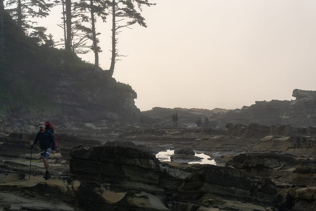
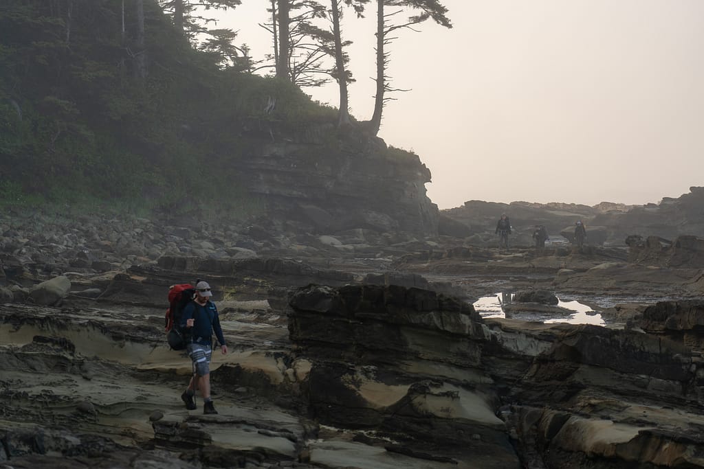
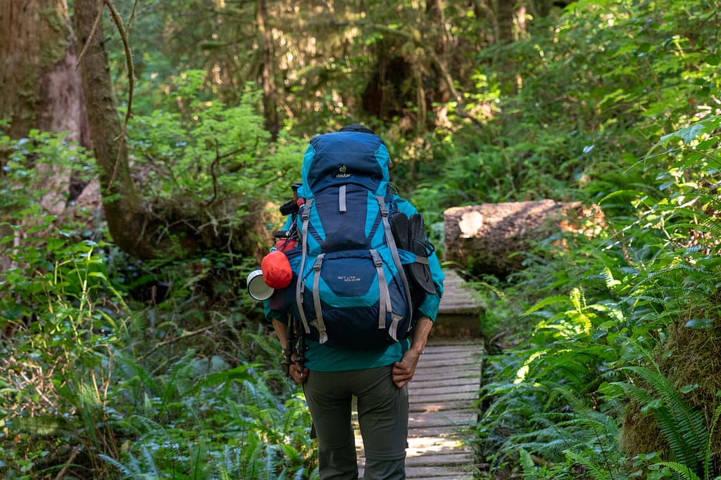
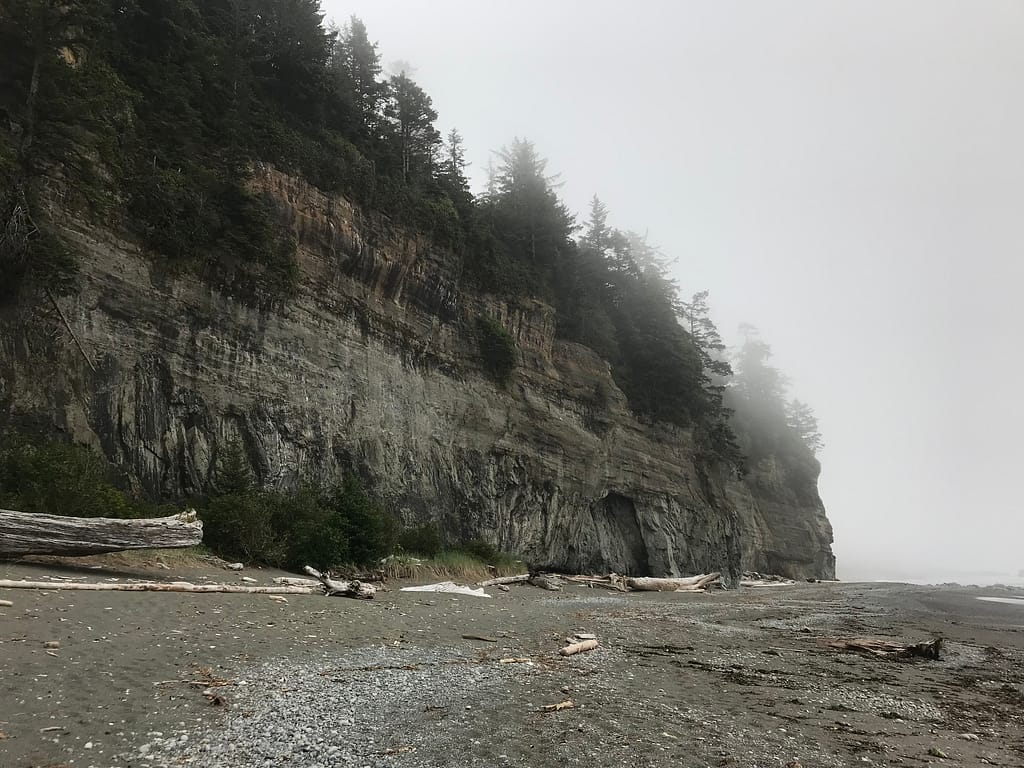
Hiking along the trail, we went up and down and across some board walks. WCT KM 32 at 11:41. Some really beautiful look outs to the some massive surge channels below. WT KM 31 at 12:06. [told you I started to get really OCD about tracking this]. The beach line turned very rocky with large waves crashing into the shoreline. There were some beautiful cove beaches you can wander down too if time permits.


12:13 Passed bridge and muddy section. 12:31 at Creek Crossing KM=10.3 for the day. This stretch of the hike was fairly easy terrain which made our progress the fastest it’s been on the entire trip. You did up and down along the coast, walking in parallel with the ocean level and the suddenly up above look down below.
12:29 WCT KM 30 – going in behind the impassible headlands. Again, there are multiple little beaches along this stretch you can wander down to go explore.


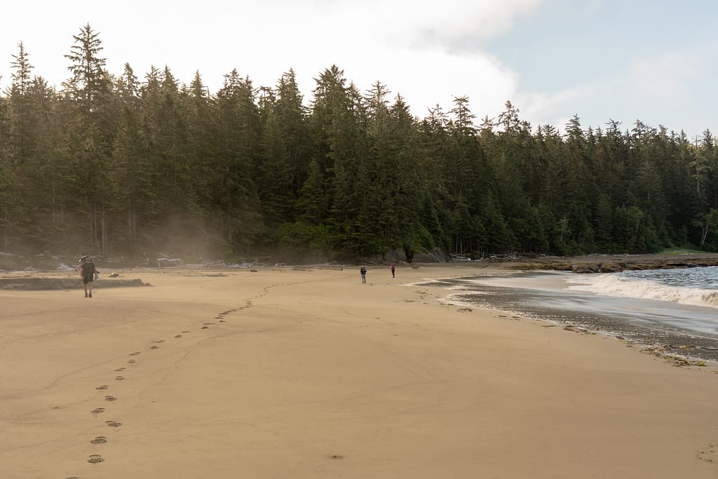
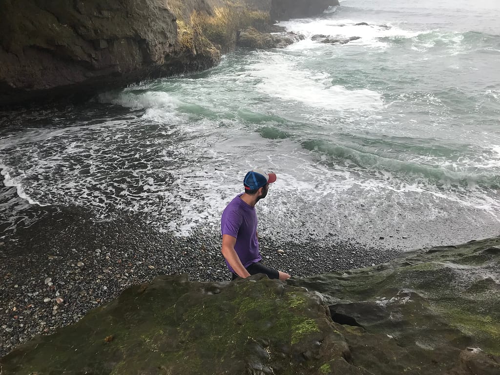
12:48 at WCT KM 29 and back onto the beach with the beach access. We were at KM = 11.5 -11.8 to this point. Here we took a brief break on the beach. This was another one of my favourite beach walks of the trip. The waves were beautiful and incredible to stare at. When the waves crash onto the shore, and recede back into the sea, the tiny pebbles get caught in the water and dance their way back to the ocean. The sound is straight out of recordings from Ocean Noises.


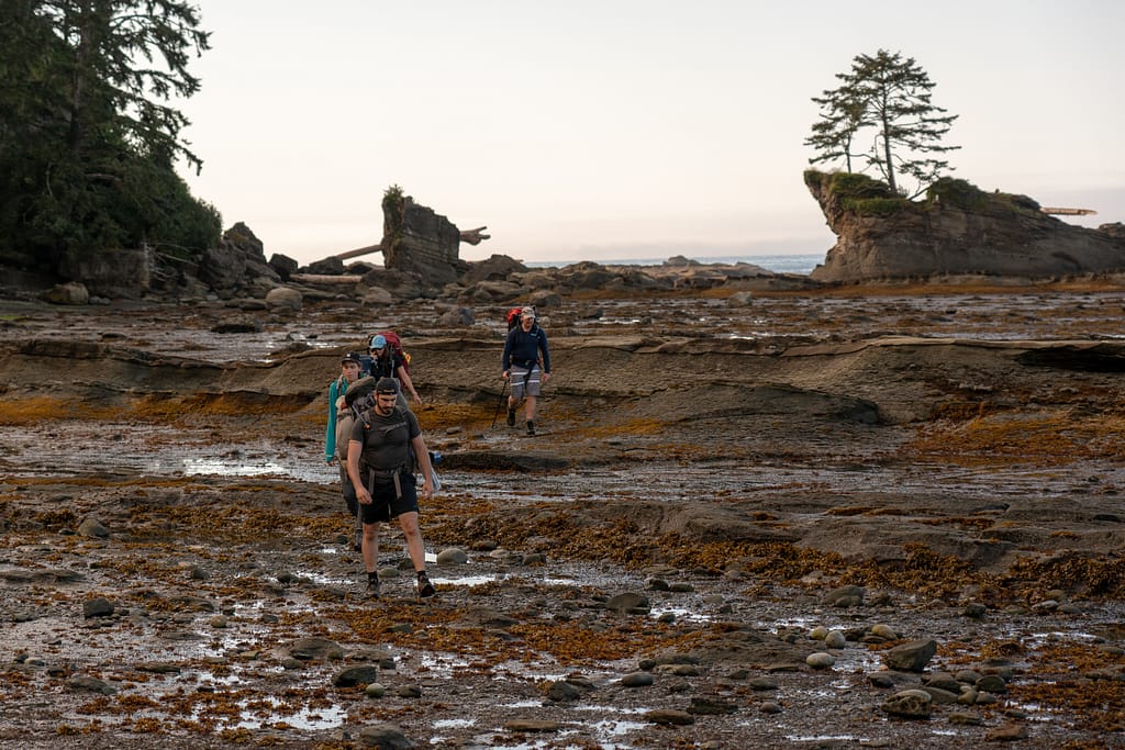
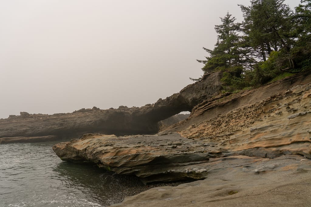
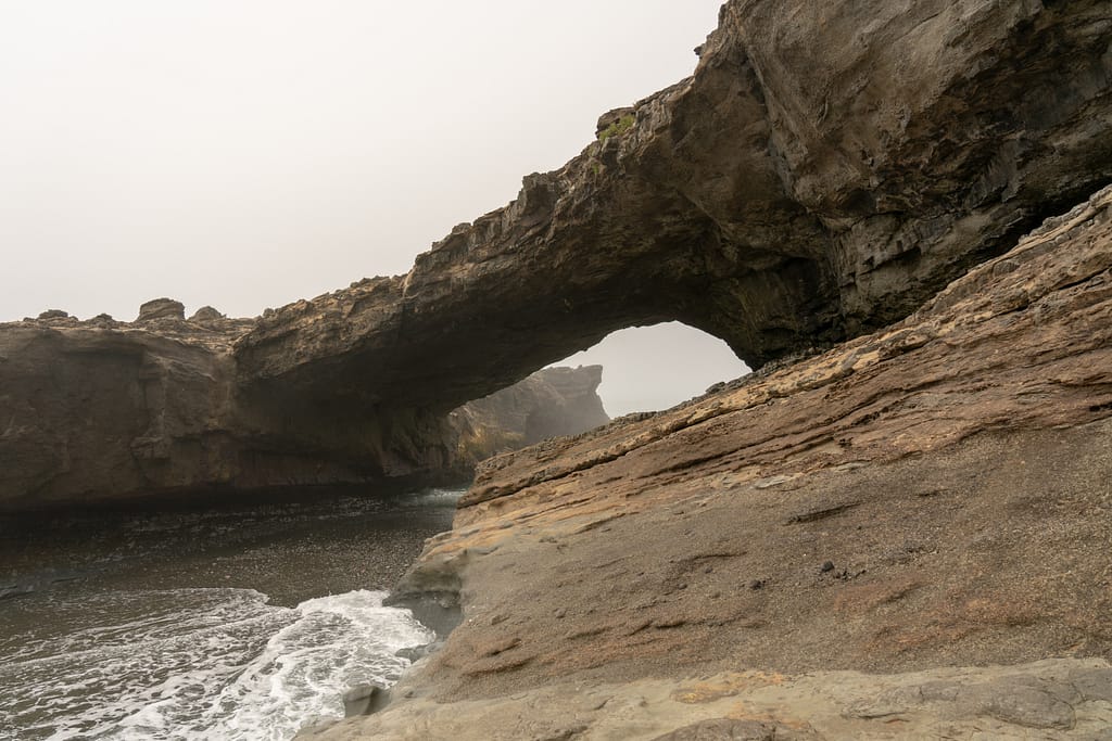
13:23 at the corner where the infamous Hole in the Wall is. We were a bit early to pass through, as the tide just started to go out. So we opted to take a break to let nature and the moon cycles do their thing.

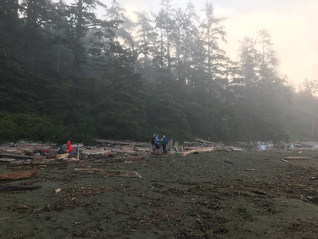
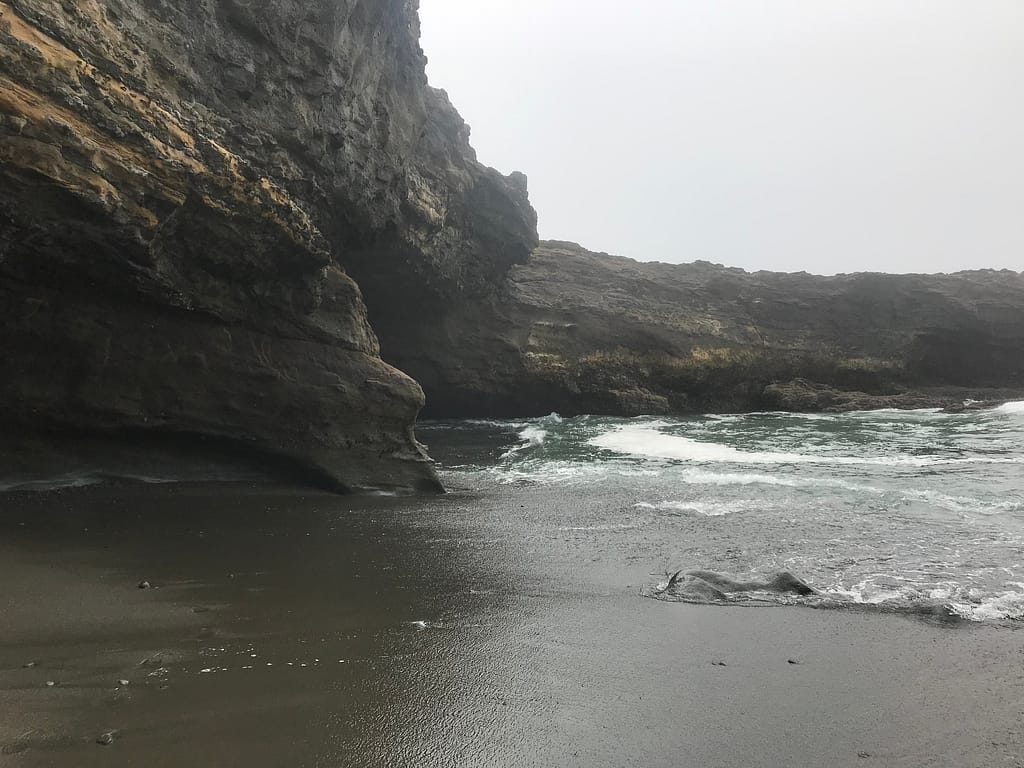
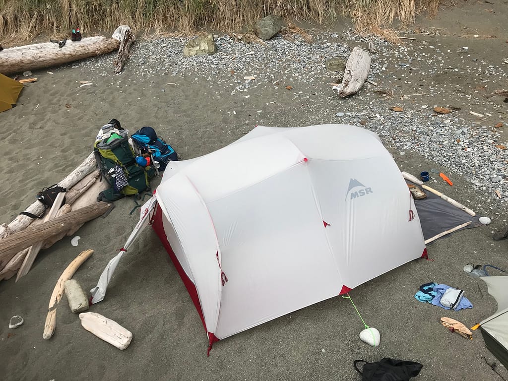
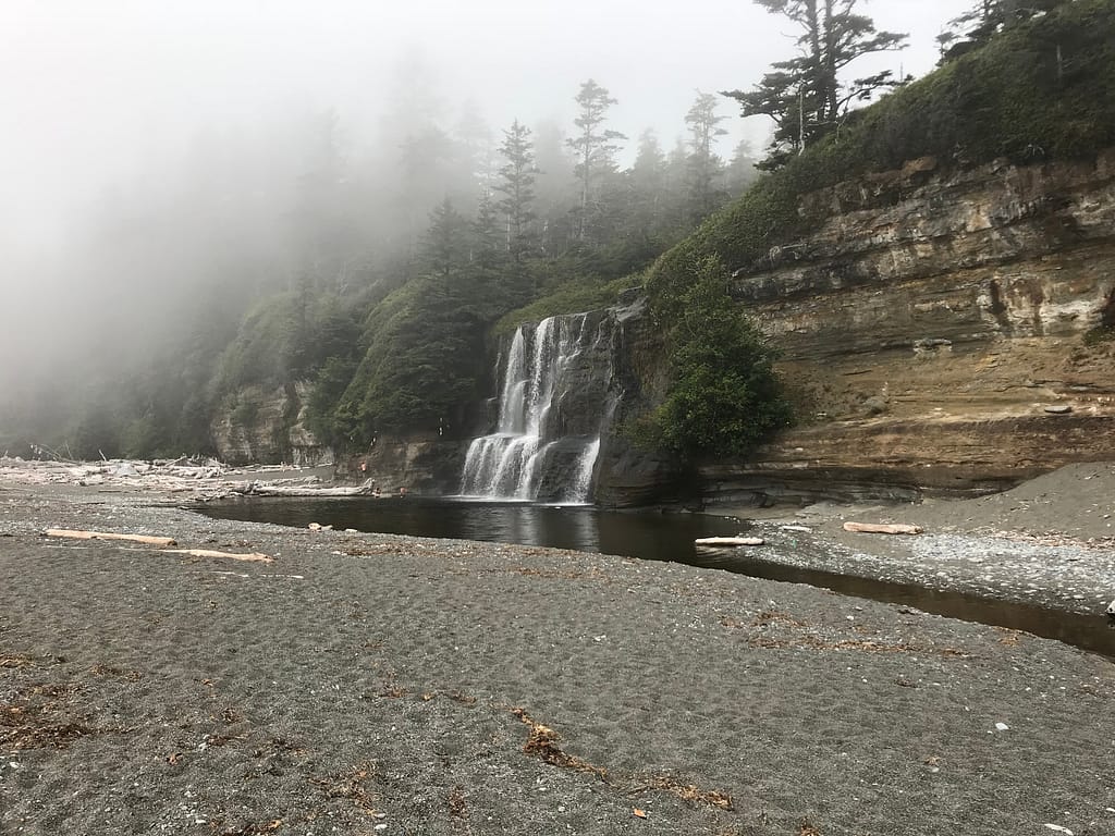
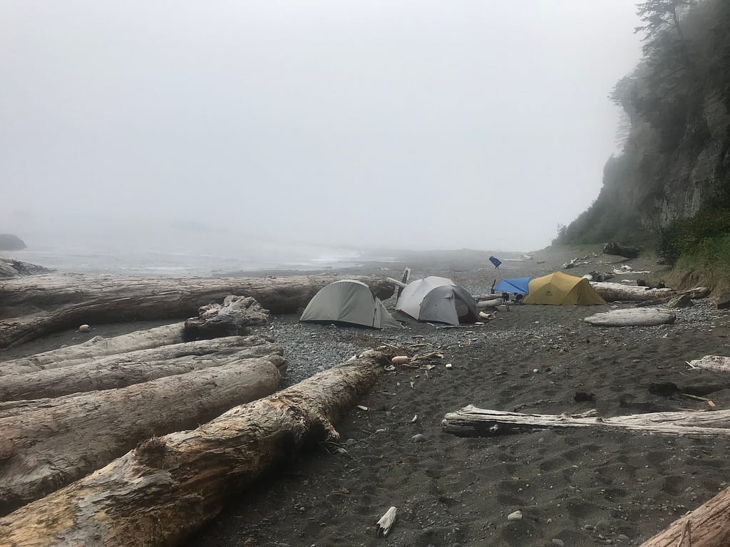
14:04 just passing Tsusiat Point. KM = 13.9 we “walked” (more like timed it with the waves to run through) through the hole in the wall. As we continued around the point, we reached our designated campsite just south of the main camp. We like our seclusion.
14:20 Set Up Camp/ Have a Bath / Chill
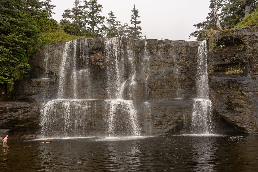
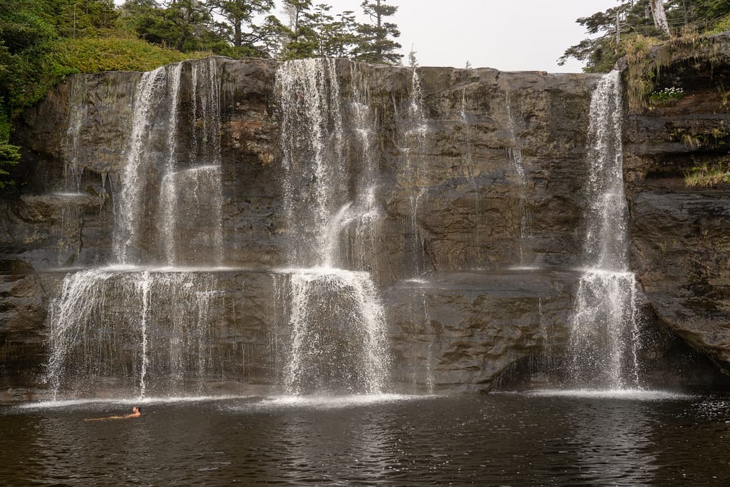
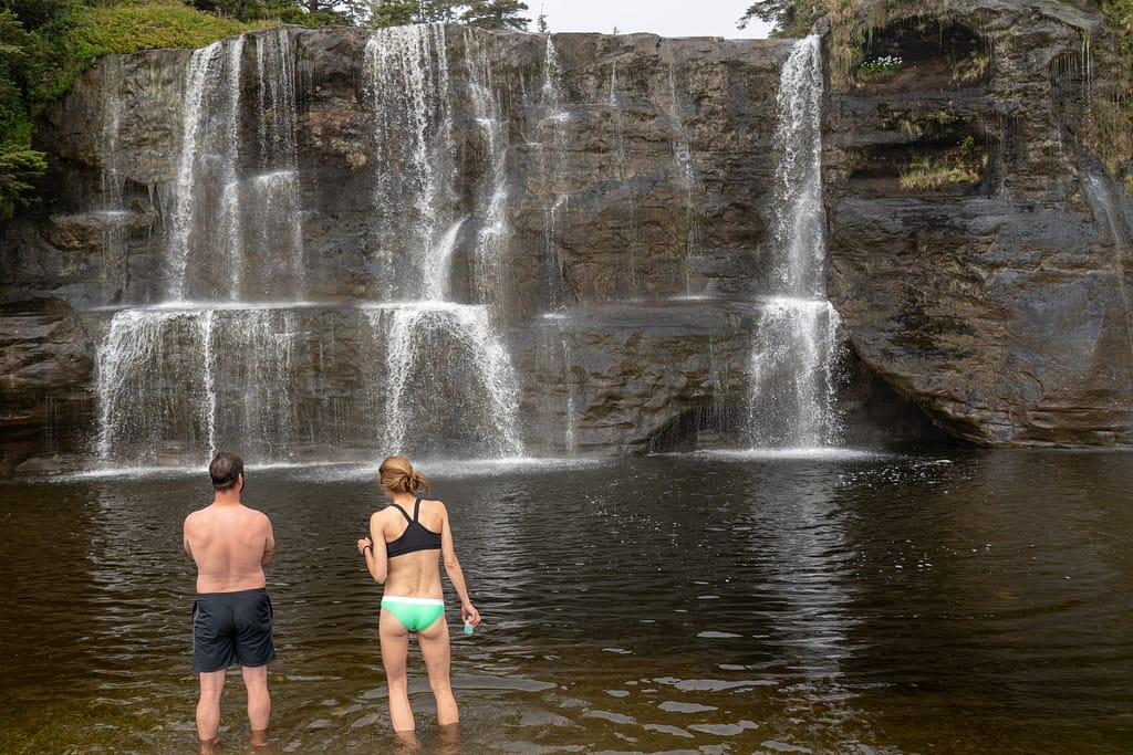
We found our camping spot in this nice little nook just south of the main camp. The spot was optimal for an epic beach fire as we were nestled in next to an eroded rock face. The beach surrounding us was sandy with mixed pebbles. We set up camp and got our home in order. Then, we meandered over to the Falls to bathe and do some laundry. It was a foggy day, so going in head first was mentally challenging.
Feeling a bit more on the cleaner side, we walked back to camp dried off, hung our clothes to dry and made an incredible fire. We also recapped our day, as we saw so many changing environments as we walked. The drastic differences in the landscapes and environments are truly apart of what makes this hike special. After some food, games and laughs around the fire, it was bed time. Which ironically was 21:35.

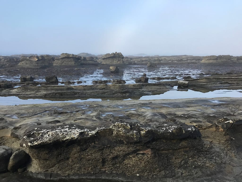
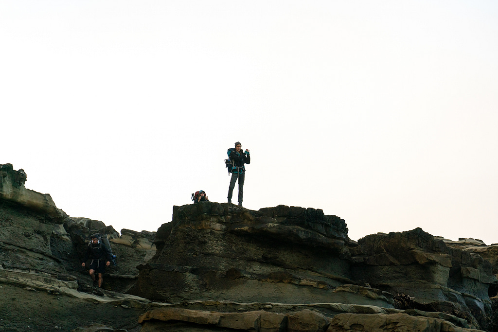
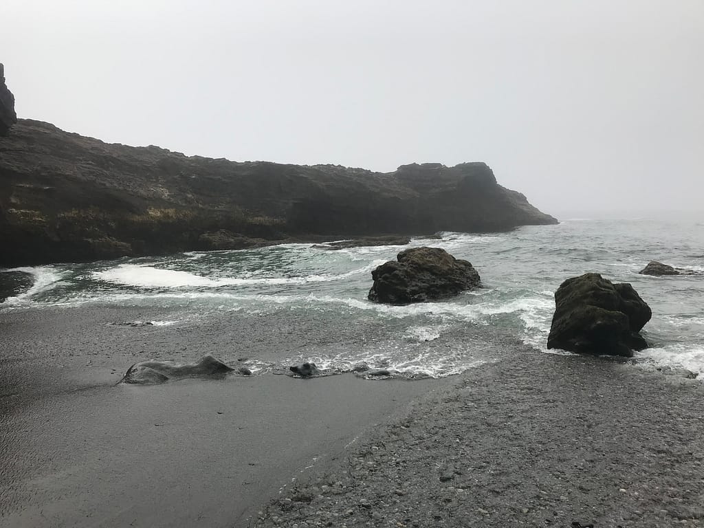
The many faces of the rock. 


Note – Tsusiat Falls is another spot that is known to fill up with campers fast. So the earlier you get there, the easier it is to claim the optimal spot. Also, because this area is adjacent to some large rock cliff creations, the food lockers are known to fill up fast. There are not many options available to hang food.
Day 6 – Notes/ Tips
- One of the items I recommend bringing if you want to take photos and track your route, is an Ankler PowerCore Battery Pack. This guy lasted both K & I 8 days on the trail, charging 2 phones and the Sony Camera Batteries.
- Tsusiat Falls is a popular spot along the trail, regardless if you are going north to south or south to north. There’s an abundance of water. If you want a prime spot, plan to get there early.
- Best Line of the Day: “There’s a heat wave in the lower mainland, and we’ve been in the fog all day.”
- This stretch of the hike contains magnificent waves and beach pebbles.
- Cash Only for food and treats at Nitinat Narrows.
Reply
You must be logged in to post a comment.