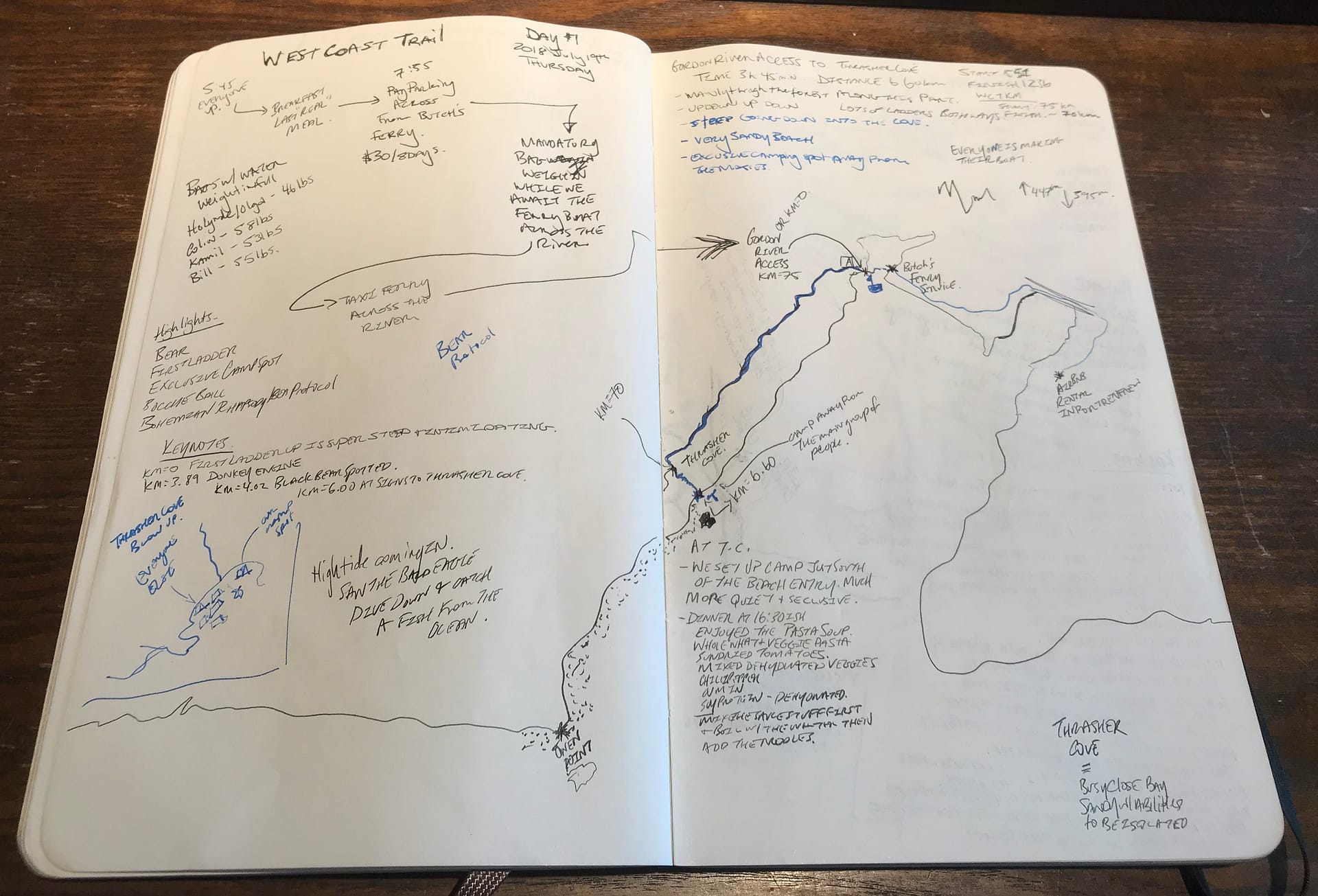
- Date Completed: Thursday 2018 July 19
- Distance (According to GPS): 6.60 km
- Time: 3 hr 35 min
- Elevation Gain: + 447m – 395m
- West Coast Trail KM’s: KM 75 to KM 70
- Map of the Route & GPS data: Yes!! Click here for Route
- Best Description of this Day: Bohemian Rhapsody
Day 1 Log of the Journey – Gordon River Access to Thrasher Cove
I’m a bit old school with tracking our adventures in my Moleskin Notebook.

Day 1: Gordon River to Thrasher Cover – 2018 July 19
5:45 Ready, Set….Here we go!
And so we begin the adventure. Early morning for the crew. Made some breakfast at the Airbnb. Jokingly thinking this is our last “real” meal. We pre-packed our bags the night prior. So, after a final check and as sweep of the place to ensure we did not leave anything, we drove the 5 minutes over to Gordon River. Our plan was to catch the first ferry leaving in the morning at 8:45. Already changing our itinerary.
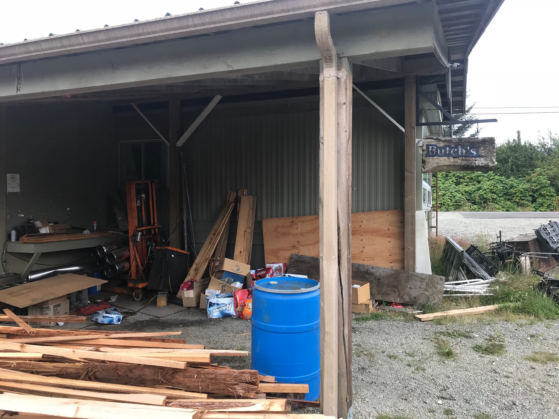
Destination = Butch’s “Ferry” Service + Parking Lot Across from the “Ferry”.
TIP: Butch’s “Ferry” Times are as follows: 8:45, 11:30 (to tie in with morning orientation), 13:30, 14:30 and last ferry at 15:30. If you do the route backwards, the timing to catch the last ferry is key. Otherwise, your stuck camping over night on the beach at the Gordon River Access point.
Parking two vehicles for 8 days = $60 total. The lot is reliable and super close to the starting point.
If your planning to be early for the ferry to ensure your spot, do not fret. The boat fits 30+ people and gear. The ferry ride is all of 5 minutes, but required to cross Gordon River. Also, there is the bag weighing which I find is a must do to see how much weight you start with.

Parking lot where we left our vehicles. 
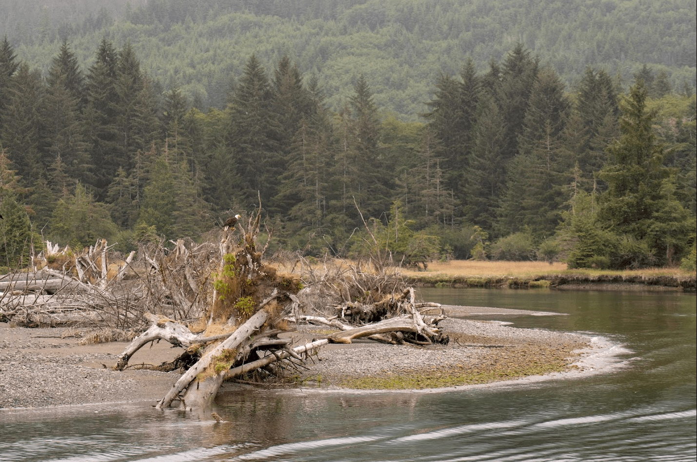
Eagle in the distance. 
Bald eagle looking off in our direction of travel. 
Bald eagle across from Butch’s Ferry.

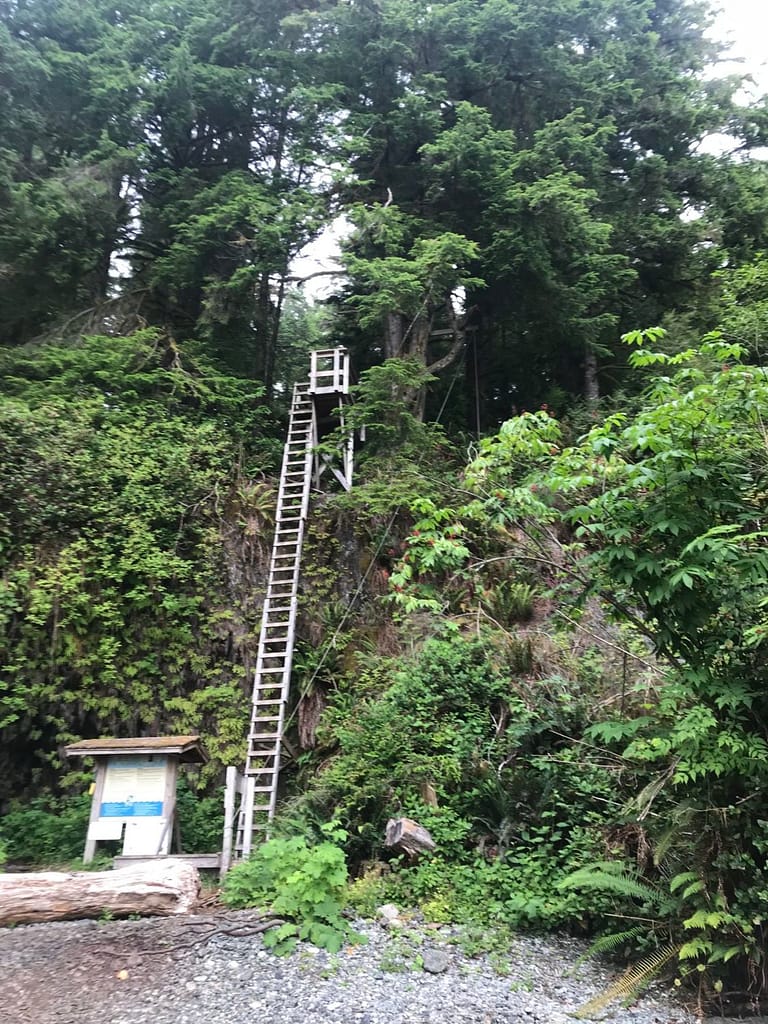
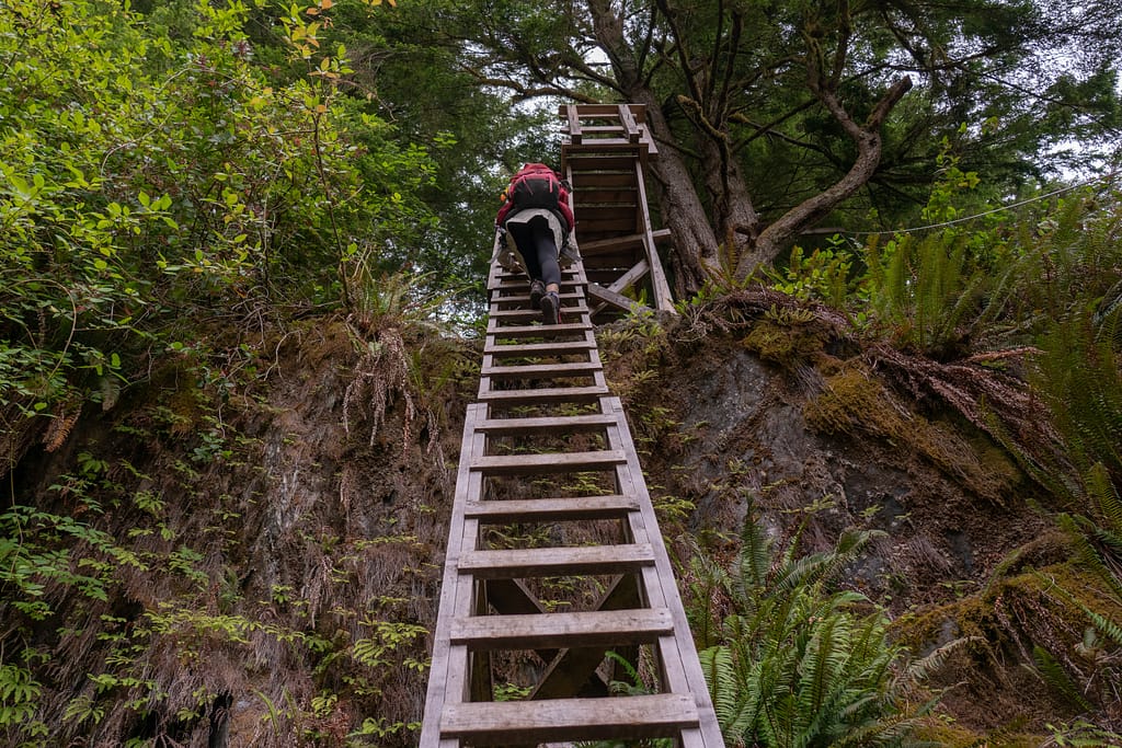
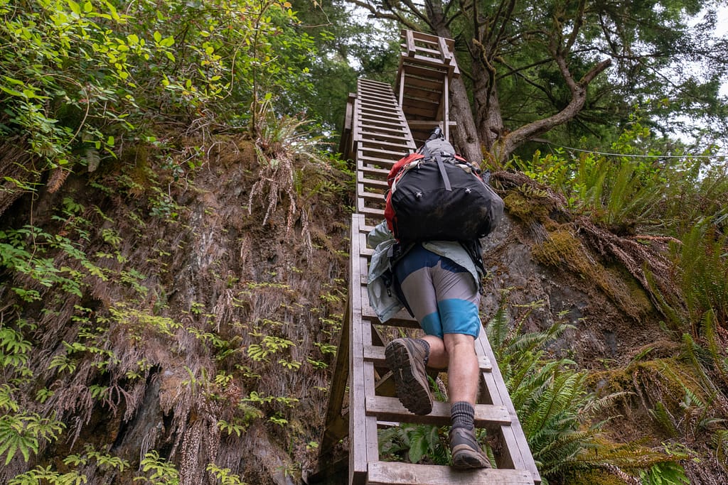
8:50 KM 75 Start
Off the boat, and intimidating first ladder. Party.

Intimidating first ladder. 
Olga up. 
Bill up. 
Colin up. No turning back….
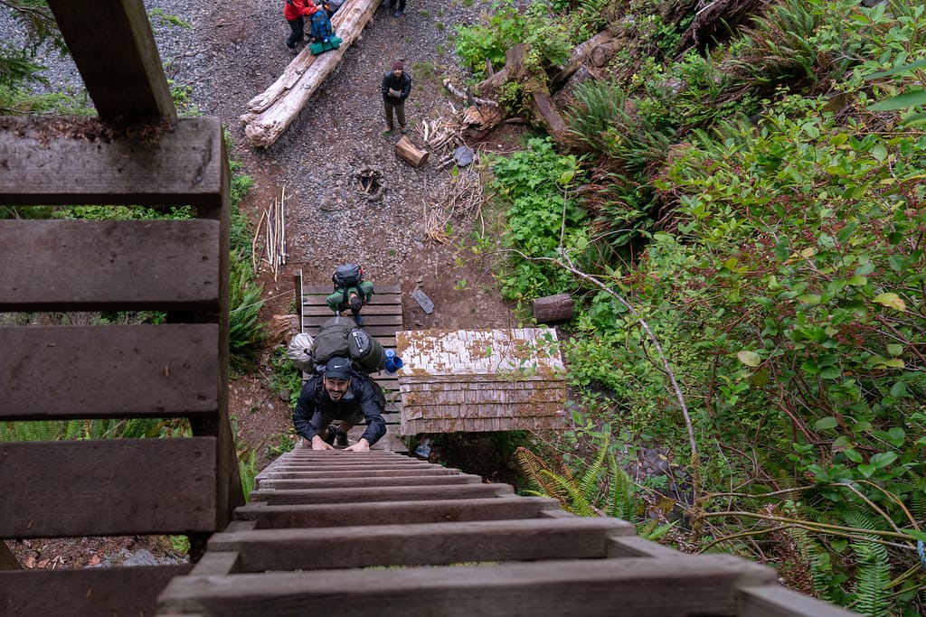
The first potion of the trail from the south end is all forest route. You end up at the beach if you decide to camp at Thrasher Cove. There are 108 bridges on the forest route of the WCT, we cross bridge 108 at 9:10. You oddly want to start singing “108 bridges to go 108 bridge, you walk over one and keep hiking on, 107 bridges to go….” as you count down the ones you cross. The trail is a little muddy is sections, but not horrible as it had not rained in the past few weeks.
At 10:03 we passed by the WCT KM 73 marker. The terrain keeping fairly consistent with tree roots sprawling out everywhere, muddy patches through out, random bridges to cross and ladders to climb up and down. The fresh air is incredible to breathe in and you ultimately realize you are in a rain forest. Happiness weighs in. Then the reality of what did we get ourselves into. At KM=3.89 for the day we passed an old Donkey Engine. It’s a neat site seeing this old equipment that was once active on such a remote trail.

The derelict donkey engine around WCT KM 72. 
Bridge crossing face off. 
Bridge crossing. 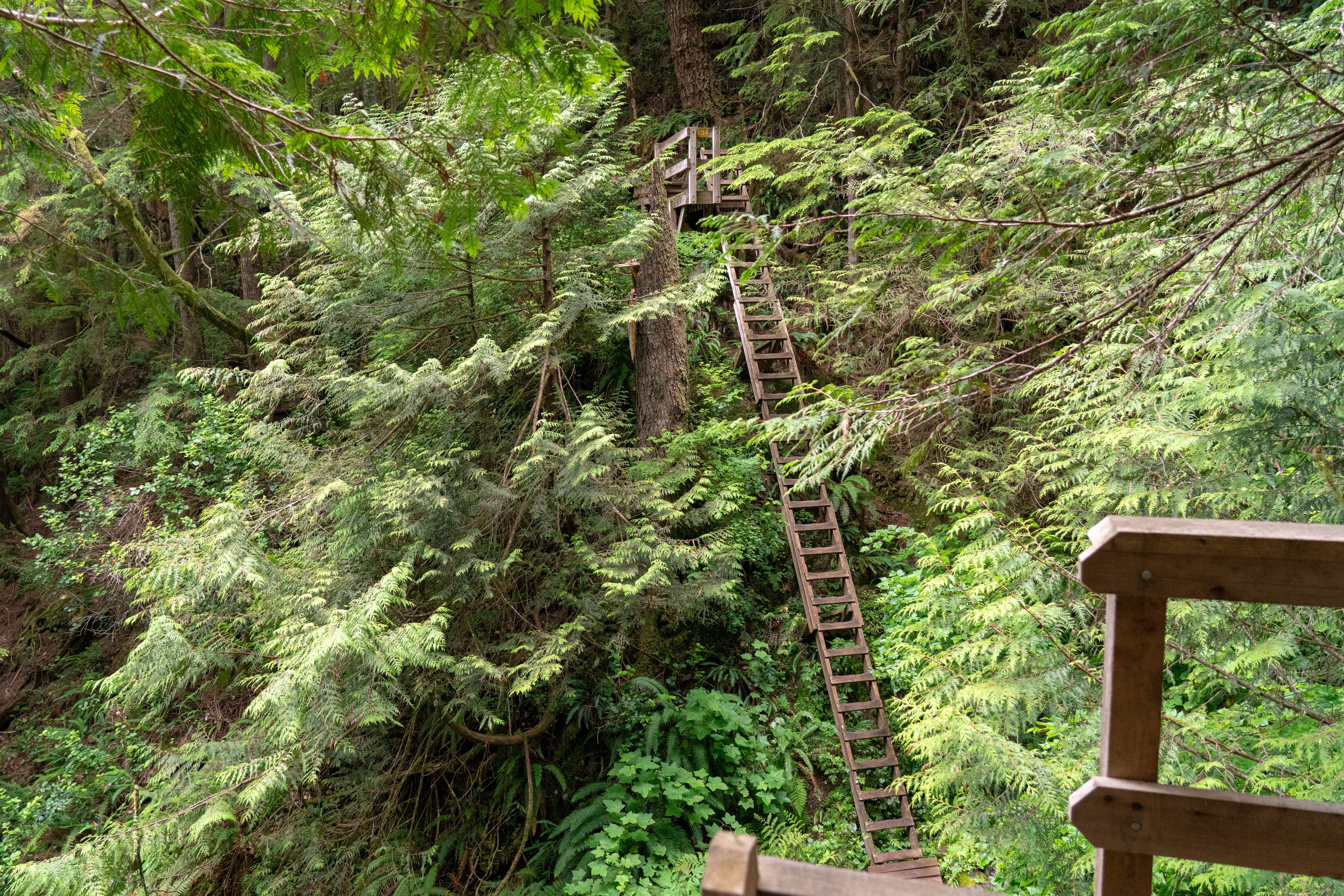
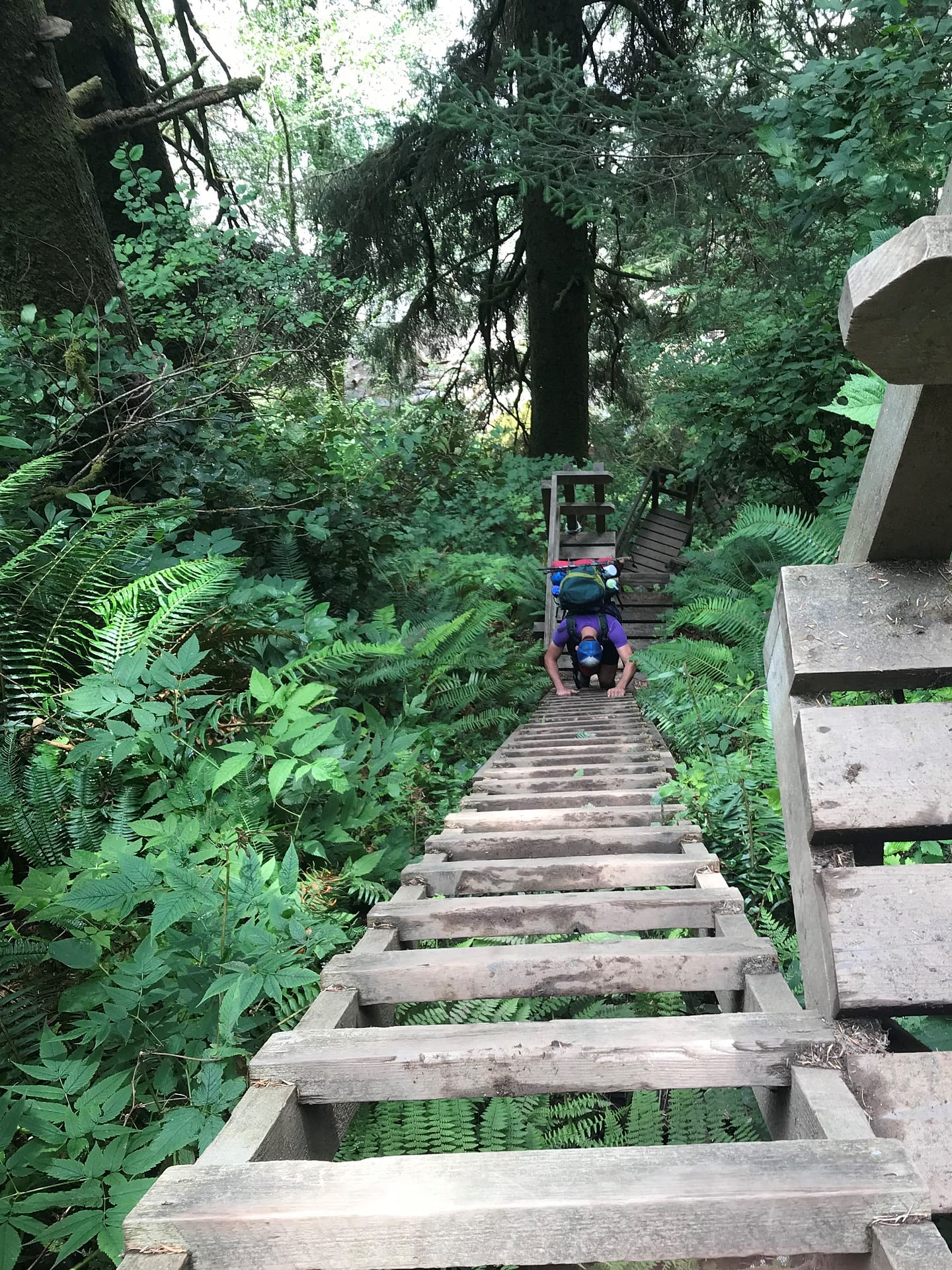
The infamous ladders. 
Ladder and bridge action.
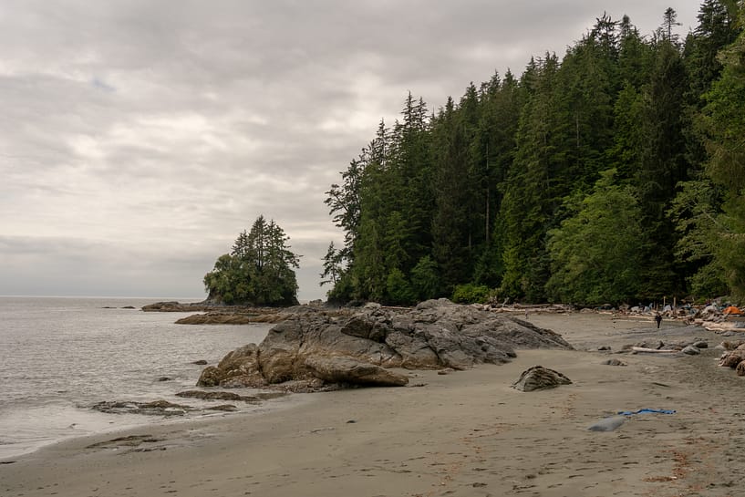
Bridges, trees and more trees. Ladders up and ladders down. You begin to love the ladders as its a quick elevation gain. At KM=4.02 of the day we spotted the black bear. This instigated our team bear protocol – signing out Bohemian Rhapsody by Queen. You do loose your breathe singing this song as you continue up an elevation incline. At KM=6.00 around 12:04 we spot the signs to direct us to the path down to Thrasher Cover – Camp spot for Night 1.
Looking back at our plan, we were well ahead of our initial schedule. A nice decline down from the forest, we reach Thrasher Cove at 12:38. I am happy to say that we did not have to complete the steep hike up from Thrasher Cove to the forest trail access point, as we planned to do beach boogie tomorrow.
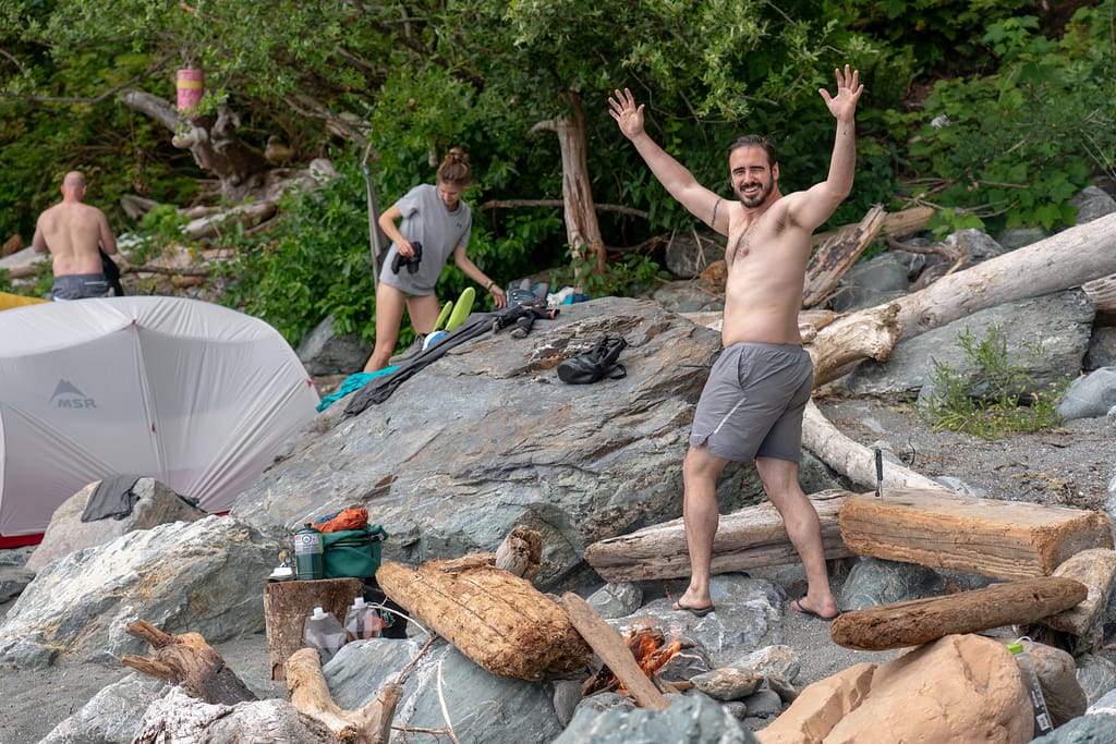
12:45 Setting up Camp and Enjoying our First Night
We were happy to see we were the first ones there, as we had the luxury of picking out our optimal campsite. We found a nice isolated spot just south of the beach access where we set up our tents and prepped the fire pit. Once our home for the night was set up we opted to relax, eat some food and enjoy the incredible adventure ahead of us. We built wooden boats, played some bocce balls and recapped the highlights from day 1. Mother nature graced up with a beautiful sunset. As the high tide was coming in we got to see a bald eagle dive down and catch a fish from the ocean.
DAY 1 – TIPS / KEYNOTES
- Thrasher Cove is a busy camping spot as this is the recommended distance to go for Day 1 when you start South-to-North. Mainly because the beach route that follows requires there to be low tides. The beach is very sandy.
- Also, North-to-South hikers camp here before finishing off the trail the next day as there is no other spot to camp when you leave Thrasher Cove until the Gordon River Access Point. We saw quite a few late arrivals that got soaked from the tide coming in going in from the North end of the beach.
- Arrive at Thrasher Cove early to get a good spot. If you want a secluded spot, this is key.
- Benefit of going South-to-North – you know you do not need to climb back up the steep descent you made down from the forest access to Thrasher Cove.
- Water Access is on the north side of Thrasher Cove at Hobbs Creek. If you go east in behind the trees away from the beach there is a much larger pond with crystal clear water. Water tabs = thumbs up.
- Because this is a popular camping spot, drift wood for the camp fire can be sparse. We learned to fetch the wood early to avoid scrambling to find it when you are cozy by the fire.
- Also put you food + items with a scent in the food storage locker early to claim your space as it does fill up fast.

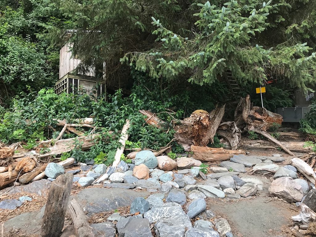
The outhouses and “camp” amenities at Thrasher Cove. 
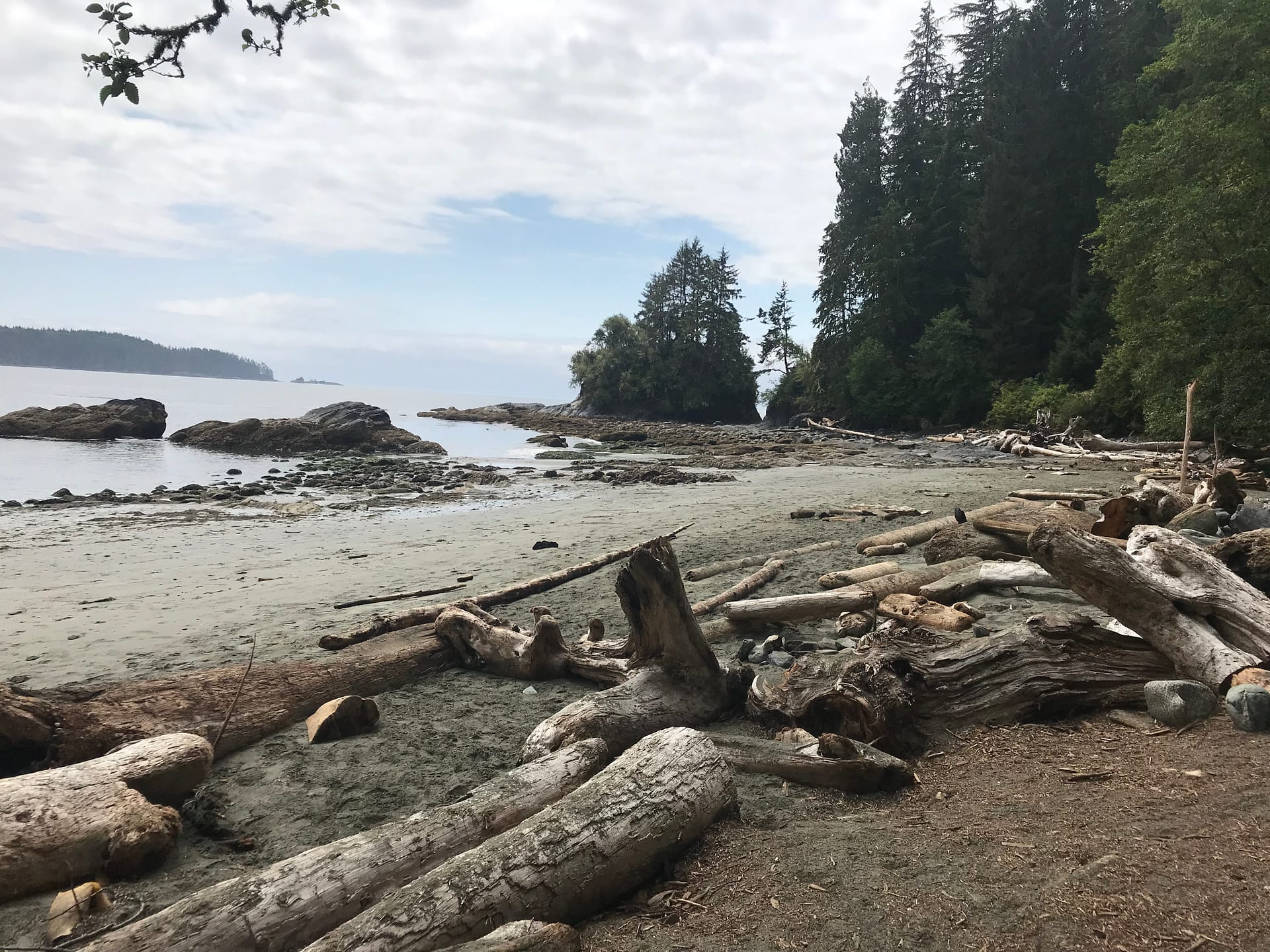
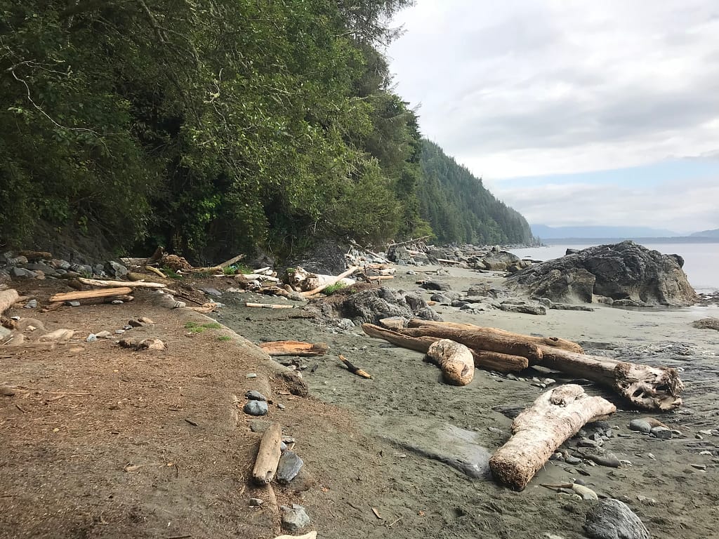
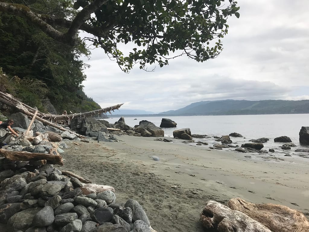
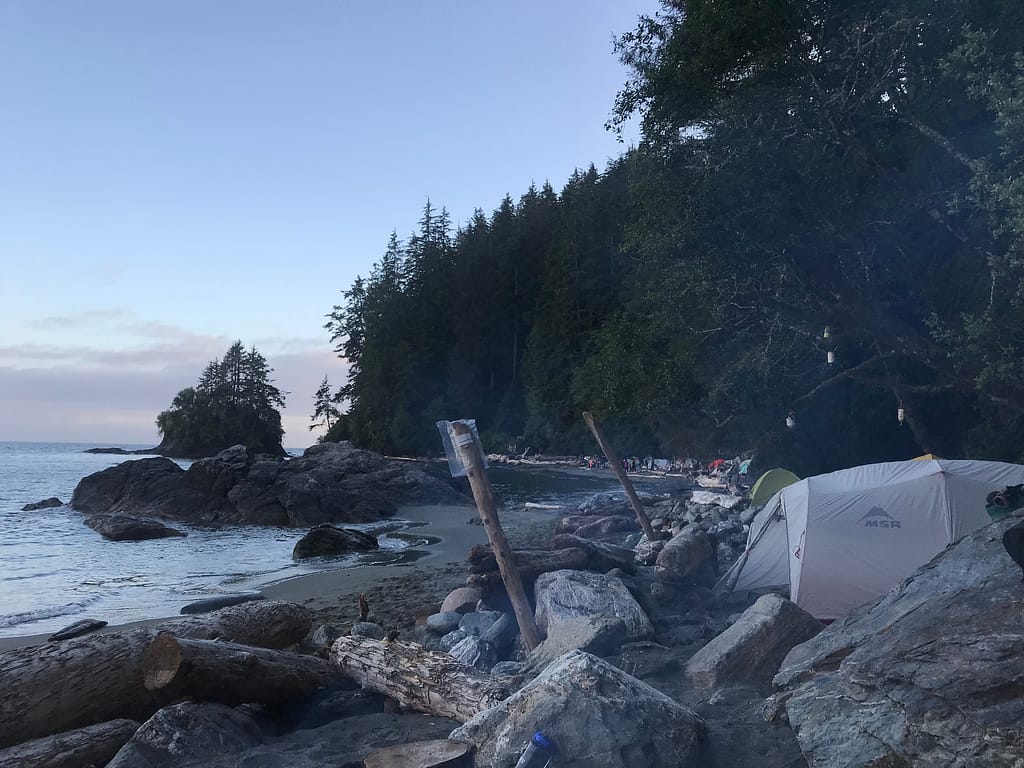
Looking south from the main entry to Thrasher Cove. (we camped on the far south side) 
Looking north from the main entry to Thrasher Cove. 
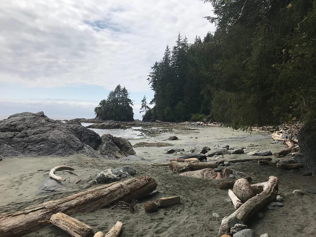
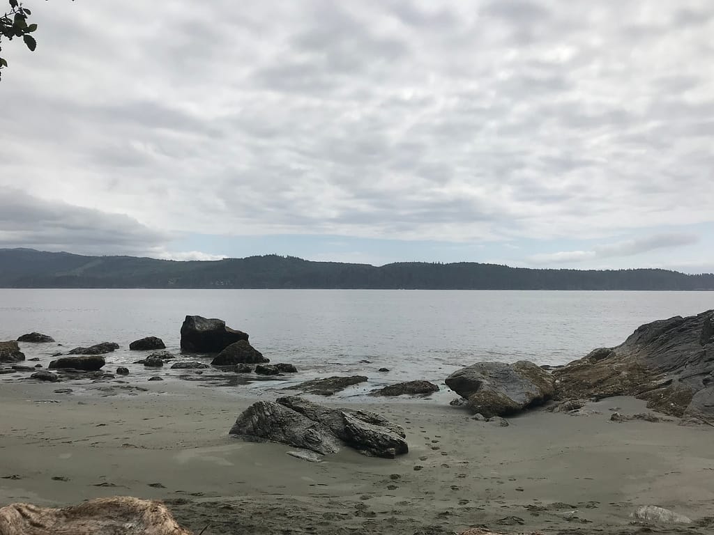
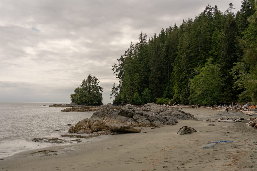
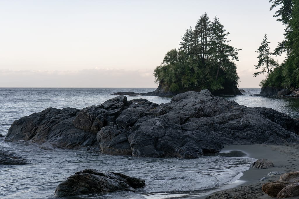
Looking straight out from Thrasher Cove. 
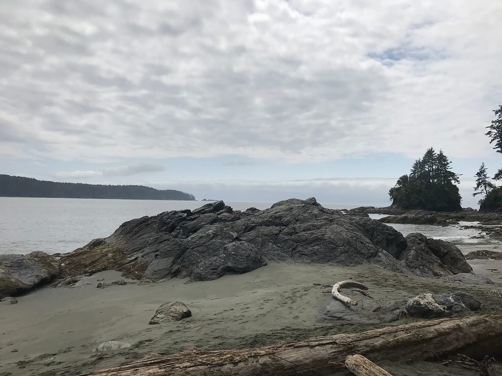
Beach views. 
The area south from where we were planning to set up camp. 
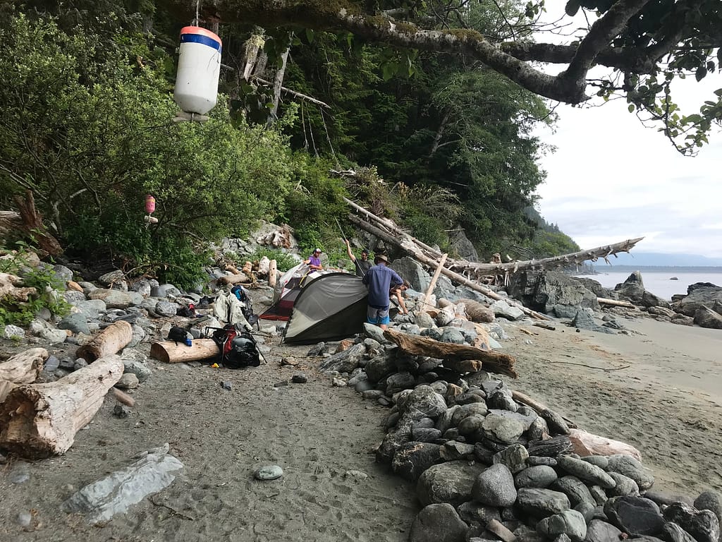
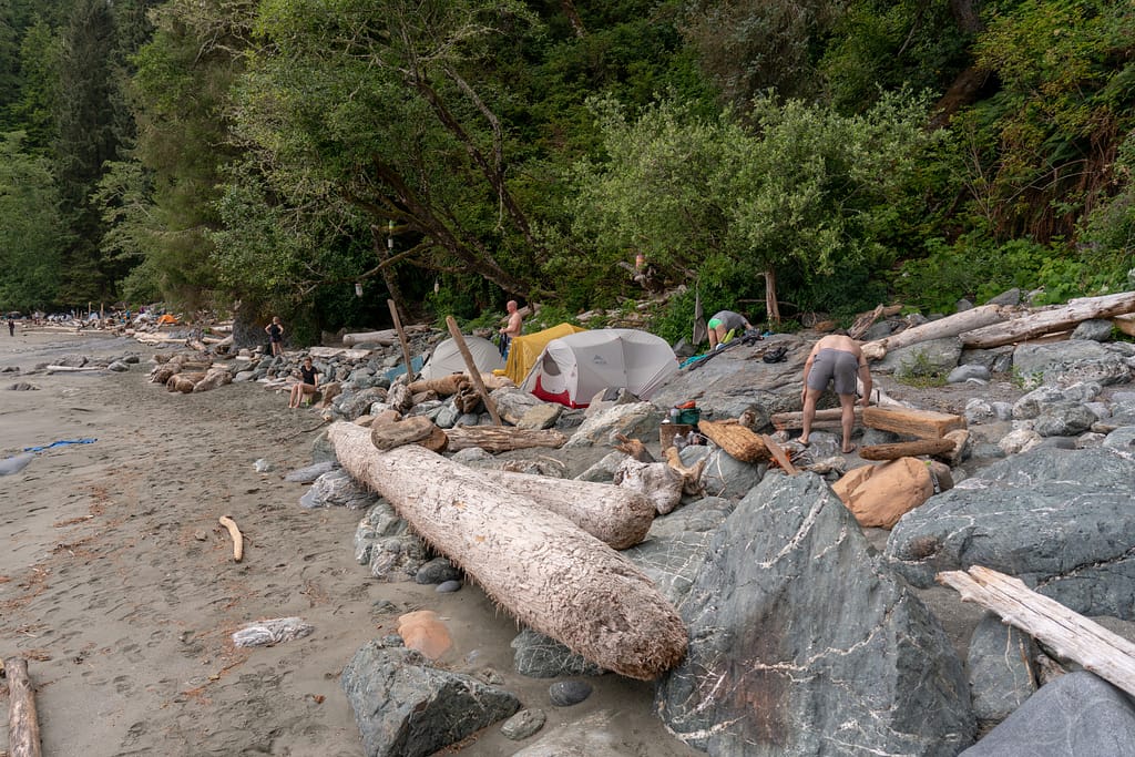
First team go at this camp set up. 
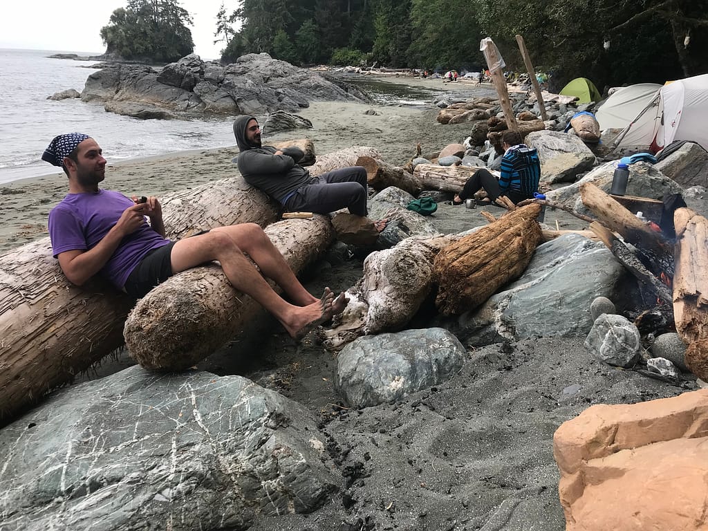
Sitting wood before it became sitting rock. 
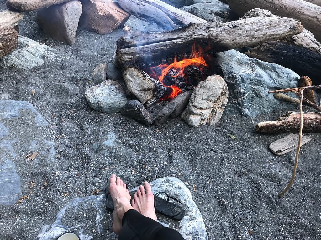
Camp fire. We found out the next day that Thrasher Cove had a fire ban going forward as its located outside of the fog zone. 
Looking north as Thrasher Cove starts to fill up with the folks coming into their last night (those that did the route N-S). 
Our camp set up. 
The incredible landscape at Thrasher Cove. 
Team happy. 
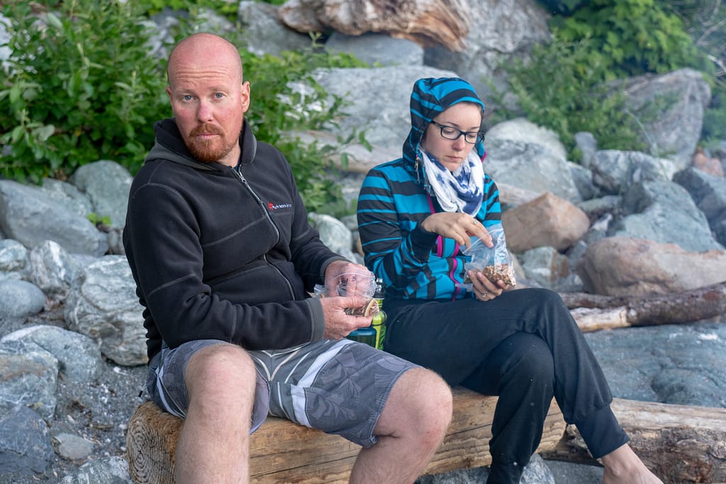
Serious about snacking. 
The beautiful surroundings.
Reply
You must be logged in to post a comment.